File:Manufacture des Tabacs (Toulouse).jpg
Size of this preview: 800 × 459 pixels. Other resolutions: 320 × 184 pixels | 640 × 367 pixels | 1,024 × 587 pixels | 1,280 × 734 pixels | 2,560 × 1,468 pixels | 7,242 × 4,154 pixels.
Original file (7,242 × 4,154 pixels, file size: 17.22 MB, MIME type: image/jpeg)
Captions
Captions
Add a one-line explanation of what this file represents
Summary edit
|
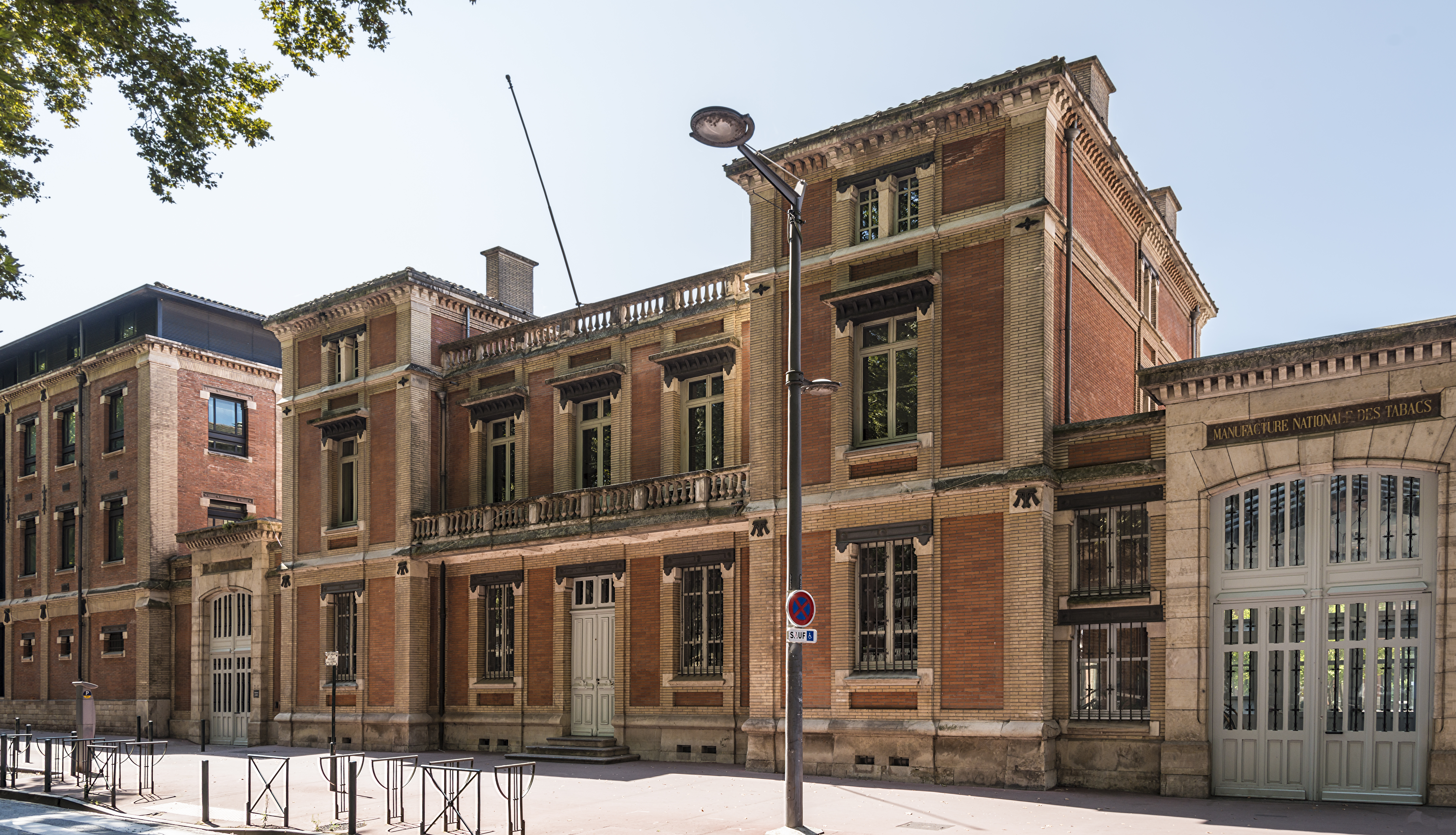
Old tobacco factory in Toulouse. | |||||||||||||||||||
|
| |||||||||||||||||||

_Universit%C3%A9_Toulouse_1_Capitole_-_Entr%C3%A9e_principale,_site_de_l%27Arsenal.jpg)
_-_Toulouse_School_of_Economics.jpg)
.jpg)
.jpg&action=edit§ion=1)
.jpg)
.jpg¶ms=043.605244_N_0001.431440_E_globe:Earth_class:object_type:object_region:FR_&language=en)
[[Category:Valued Images by Archaeodontosaurus]
File history
Click on a date/time to view the file as it appeared at that time.
| Date/Time | Thumbnail | Dimensions | User | Comment | |
|---|---|---|---|---|---|
| current | 10:19, 21 May 2016 | | 7,242 × 4,154 (17.22 MB) | Archaeodontosaurus (talk | contribs) | {{Information |Description ={{en|1=c}} |Source ={{own}} |Author =Archaeodontosaurus |Date = |Permission = |other_versions = }} |
You cannot overwrite this file.
File usage on Commons
The following 10 pages use this file:
- User talk:Archaeodontosaurus/Premier semestre 2016
- Commons:Valued image candidates/Manufacture des Tabacs (Toulouse).jpg
- File:(31) - Toulouse School of Economics.jpg
- File:(31) Université Toulouse 1 Capitole - Entrée principale, site de l'Arsenal.jpg
- File:Manufacture des Tabacs (Toulouse).jpg
- Category:Alumni of the Université de Toulouse
- Category:Faculty of the Université de Toulouse
- Category:Institut d'études politiques de Toulouse
- Category:Manufacture des Tabacs (Toulouse)
- Category:Université de Toulouse
File usage on other wikis
The following other wikis use this file:
- Usage on als.wikipedia.org
- Usage on ar.wikipedia.org
- Usage on arz.wikipedia.org
- Usage on be.wikipedia.org
- Usage on ca.wikipedia.org
- Usage on da.wikipedia.org
- Usage on de.wikipedia.org
- Usage on en.wikipedia.org
- Usage on eo.wikipedia.org
- Usage on es.wikipedia.org
- Usage on eu.wikipedia.org
- Usage on fa.wikipedia.org
- Usage on fi.wikipedia.org
- Usage on fr.wikipedia.org
- Université Toulouse-Capitole
- Quartier des Amidonniers
- École d'économie de Toulouse
- Institut d'études politiques de Toulouse
- Université de Toulouse
- Liste des monuments historiques de Toulouse
- Occitanie (région administrative)
- Manufacture des tabacs de Toulouse
- Utilisateur:Bach Coltrane/Brouillon
- Utilisateur:Darmo117/Brouillons/Manufacture des tabacs de Toulouse
- Usage on fr.wikivoyage.org
- Usage on he.wikipedia.org
- Usage on it.wikipedia.org
- Usage on ja.wikivoyage.org
- Usage on mdf.wikipedia.org
- Usage on nl.wikipedia.org
- Usage on no.wikipedia.org
- Usage on oc.wikipedia.org
- Usage on pl.wikipedia.org
- Usage on ro.wikipedia.org
- Usage on ru.wikipedia.org
- Usage on tl.wikipedia.org
- Usage on uk.wikipedia.org
- Usage on vi.wikipedia.org
- Usage on www.wikidata.org
View more global usage of this file.
.jpg)
.jpg&oldid=770791675)