File:MapRice-1907-0823.jpg

Size of this preview: 800 × 478 pixels. Other resolutions: 320 × 191 pixels | 640 × 382 pixels | 1,024 × 612 pixels | 1,280 × 765 pixels | 2,560 × 1,530 pixels | 7,216 × 4,312 pixels.
Original file (7,216 × 4,312 pixels, file size: 7.09 MB, MIME type: image/jpeg)
Captions
Captions
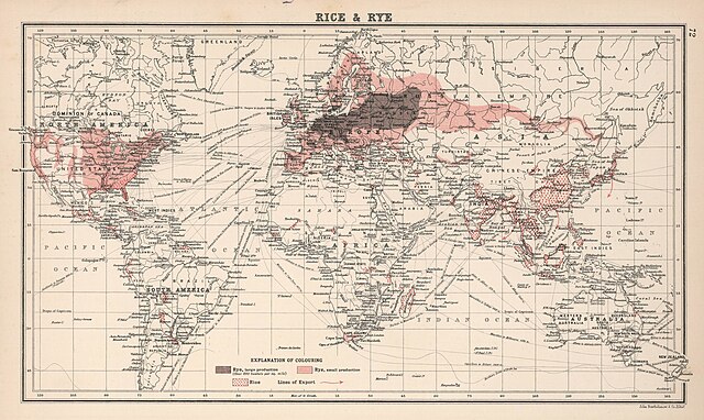
Map of rice and rye cultivation, 1907
Summary edit
| Description |
English: Map of rice and rye cultivation, 1907 |
| Date | |
| Source | https://q-map.ru/%d0%ba%d0%b0%d1%80%d1%82%d0%b0-%d0%b2%d1%8b%d1%80%d0%b0%d1%89%d0%b8%d0%b2%d0%b0%d0%bd%d0%b8%d1%8f-%d1%80%d0%b8%d1%81%d0%b0-%d0%b8-%d1%80%d0%b6%d0%b8-1907-%d0%b3/ |
| Author | Atlas of the World's Commerce, A New Series of Maps with Descriptive Text and Diagrams showing Products, Imports, Exports, Commercial Conditions and Economic Statistics of the Countries of the World, Compiled from the Latest Official returns at the Edinburgh Geographical Institute and Edited by J.G. Bartholomew, F.R.S.E., F.R.G.S., Etc. Victoria Gold Medalist of the Royal Geographical Society. London, George Newnes, Limited, Southampton Street, Strand, W.C. |
Licensing edit
This file is licensed under the Creative Commons Attribution-Share Alike 4.0 International license.
- You are free:
- to share – to copy, distribute and transmit the work
- to remix – to adapt the work
- Under the following conditions:
- attribution – You must give appropriate credit, provide a link to the license, and indicate if changes were made. You may do so in any reasonable manner, but not in any way that suggests the licensor endorses you or your use.
- share alike – If you remix, transform, or build upon the material, you must distribute your contributions under the same or compatible license as the original.
File history
Click on a date/time to view the file as it appeared at that time.
| Date/Time | Thumbnail | Dimensions | User | Comment | |
|---|---|---|---|---|---|
| current | 10:08, 8 December 2023 | | 7,216 × 4,312 (7.09 MB) | Gog3ger (talk | contribs) | Uploaded a work by Atlas of the World's Commerce, A New Series of Maps with Descriptive Text and Diagrams showing Products, Imports, Exports, Commercial Conditions and Economic Statistics of the Countries of the World, Compiled from the Latest Official returns at the Edinburgh Geographical Institute and Edited by J.G. Bartholomew, F.R.S.E., F.R.G.S., Etc. Victoria Gold Medalist of the Royal Geographical Society. London, George Newnes, Limited, Southampton Street, Strand, W.C. from https://q-m... |
You cannot overwrite this file.
File usage on Commons
There are no pages that use this file.