File:Map - St. Martin - South Western District Louisiana - DPLA - 7102f2aa376bf00ca3b48d4d4d633ae1.jpg

Size of this preview: 639 × 600 pixels. Other resolutions: 256 × 240 pixels | 511 × 480 pixels | 818 × 768 pixels | 1,091 × 1,024 pixels | 2,182 × 2,048 pixels | 7,968 × 7,478 pixels.
Original file (7,968 × 7,478 pixels, file size: 2.8 MB, MIME type: image/jpeg)
Captions
Captions
Add a one-line explanation of what this file represents
Summary
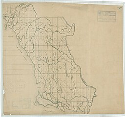
edit| Map - St. Martin - South Western District Louisiana
( |
||||||||||||||
|---|---|---|---|---|---|---|---|---|---|---|---|---|---|---|
| Creator | War Department. Office of the Chief of Engineers. 1818-9/18/1947 | |||||||||||||
| Title |
Map - St. Martin - South Western District Louisiana |
|||||||||||||
| Date | 1818-01-01/1947-12-31 | |||||||||||||
| Collection |
|
|||||||||||||
| Source/Photographer |
|
|||||||||||||
| Permission (Reusing this file) |
|
|||||||||||||
| Standardized rights statement |
|
|||||||||||||


File history
Click on a date/time to view the file as it appeared at that time.
| Date/Time | Thumbnail | Dimensions | User | Comment | |
|---|---|---|---|---|---|
| current | 16:05, 10 November 2022 | | 7,968 × 7,478 (2.8 MB) | DPLA bot (talk | contribs) | Uploading DPLA ID 7102f2aa376bf00ca3b48d4d4d633ae1 |
You cannot overwrite this file.
File usage on Commons
The following page uses this file: