File:Map Caedwalla-fr.svg

Size of this PNG preview of this SVG file: 800 × 315 pixels. Other resolutions: 320 × 126 pixels | 640 × 252 pixels | 1,024 × 403 pixels | 1,280 × 503 pixels | 2,560 × 1,007 pixels | 946 × 372 pixels.
Original file (SVG file, nominally 946 × 372 pixels, file size: 1.32 MB)
Captions
Captions
Add a one-line explanation of what this file represents
Summary
edit
| Description |
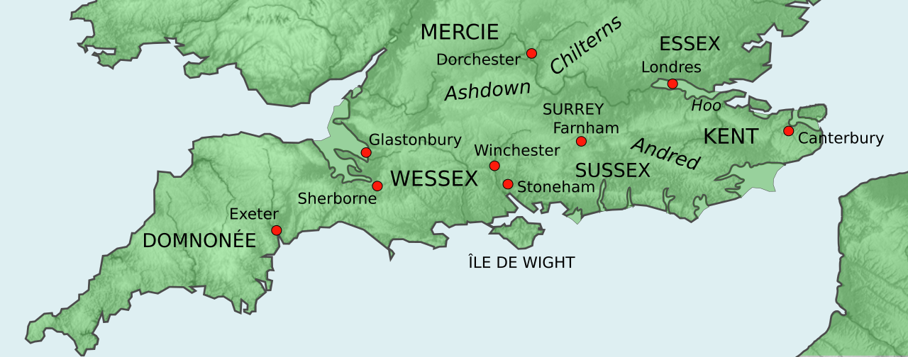
Français : Le Sud de l'Angleterre sous le règne de Cædwalla de Wessex. |
| Date | |
| Source | Own work |
| Author | Ælfgar |
Licensing
edit
I, the copyright holder of this work, hereby publish it under the following license:
This file is licensed under the Creative Commons Attribution-Share Alike 3.0 Unported license.
- You are free:
- to share – to copy, distribute and transmit the work
- to remix – to adapt the work
- Under the following conditions:
- attribution – You must give appropriate credit, provide a link to the license, and indicate if changes were made. You may do so in any reasonable manner, but not in any way that suggests the licensor endorses you or your use.
- share alike – If you remix, transform, or build upon the material, you must distribute your contributions under the same or compatible license as the original.
File history
Click on a date/time to view the file as it appeared at that time.
| Date/Time | Thumbnail | Dimensions | User | Comment | |
|---|---|---|---|---|---|
| current | 16:16, 1 February 2020 | 946 × 372 (1.32 MB) | Jan Hejkrlík (talk | contribs) | File uploaded using svgtranslate tool (https://tools.wmflabs.org/svgtranslate/). Added translation for cs. | |
| 21:13, 5 April 2014 | 946 × 372 (1.32 MB) | Ælfgar (talk | contribs) | it's Dorchester-on-Thames, not the one in Dorset | ||
| 19:46, 5 April 2014 | 946 × 372 (1.32 MB) | Ælfgar (talk | contribs) | User created page with UploadWizard |
You cannot overwrite this file.
File usage on Commons
There are no pages that use this file.
File usage on other wikis
The following other wikis use this file: