File:Map E16 (Norway).svg

Size of this PNG preview of this SVG file: 724 × 600 pixels. Other resolutions: 290 × 240 pixels | 580 × 480 pixels | 927 × 768 pixels | 1,237 × 1,024 pixels | 2,473 × 2,048 pixels | 3,690 × 3,056 pixels.
Original file (SVG file, nominally 3,690 × 3,056 pixels, file size: 601 KB)
Captions
Captions
Add a one-line explanation of what this file represents
Summary
edit.svg&action=edit§ion=1)
| Description |
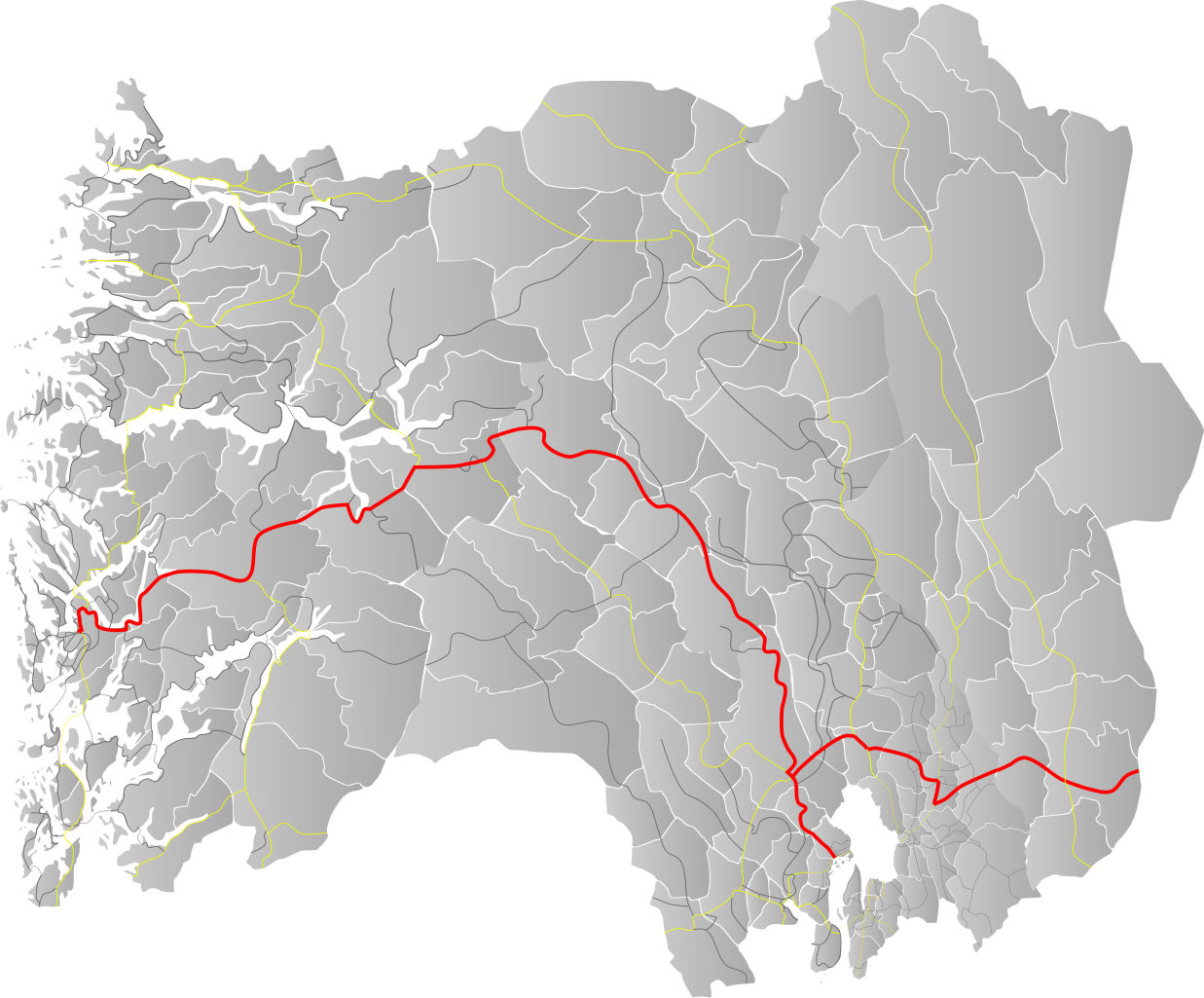
English: Map of norwegian trunk road E16 |
| Date | |
| Source | Own work by uploader, based on county base locator maps |
| Author | BjørnN |
Licensing
edit.svg&action=edit§ion=2)
| I, the copyright holder of this work, release this work into the public domain. This applies worldwide. In some countries this may not be legally possible; if so: I grant anyone the right to use this work for any purpose, without any conditions, unless such conditions are required by law. |
File history
Click on a date/time to view the file as it appeared at that time.
| Date/Time | Thumbnail | Dimensions | User | Comment | |
|---|---|---|---|---|---|
| current | 19:03, 29 September 2012 | | 3,690 × 3,056 (601 KB) | BjørnN (talk | contribs) | Updated route |
| 18:59, 2 June 2009 |  | 3,192 × 2,818 (667 KB) | BjørnN (talk | contribs) | {{Information |Description={{en|1=Map of norwegian trunk road E16}} |Source=Own work by uploader, based on county base locator maps |Author=BjørnN |Date=2009-06-02 |Permission= |other_versions= }} <!--{{ImageUpload|full}}--> [[Category: |
You cannot overwrite this file.
File usage on Commons
There are no pages that use this file.
File usage on other wikis
The following other wikis use this file:
- Usage on nn.wikipedia.org
- Usage on no.wikipedia.org
.svg&oldid=703180221)