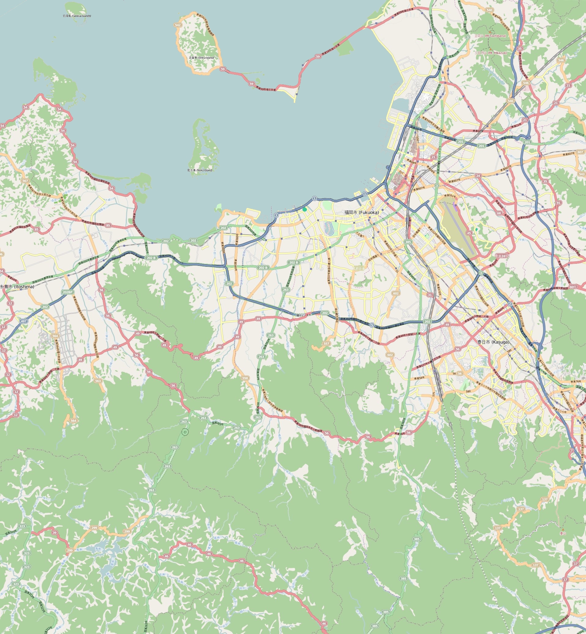
File:Map Fukuoka.jpg
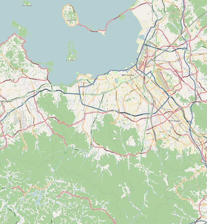
Size of this preview: 554 × 599 pixels. Other resolutions: 222 × 240 pixels | 444 × 480 pixels | 710 × 768 pixels | 947 × 1,024 pixels | 1,916 × 2,072 pixels.
Original file (1,916 × 2,072 pixels, file size: 1.75 MB, MIME type: image/jpeg)
Captions
Captions
Add a one-line explanation of what this file represents
Summary
edit
| Description |
This map of Fukuoka was created from OpenStreetMap project data, collected by the community. This map may be incomplete, and may contain errors. Don't rely solely on it for navigation. |
|||||||||
| Date | (see file history) | |||||||||
| Source | openstreetmap.org | |||||||||
| Creator |
OpenStreetMap contributors |
|||||||||
| Permission (Reusing this file) |
OpenStreetMap data and maps are licensed under the Creative Commons Attribution-ShareAlike 2.0 license (CC-BY-SA 2.0). This file is licensed under the Creative Commons Attribution-Share Alike 2.0 Generic license.
|
|||||||||
| Geotemporal data | ||||||||||
| Bounding box |
|
|||||||||
| Georeferencing | If inappropriate please set warp_status = skip to hide. | |||||||||
Licensing
edit
This file is licensed under the Creative Commons Attribution-Share Alike 3.0 Unported license.
- You are free:
- to share – to copy, distribute and transmit the work
- to remix – to adapt the work
- Under the following conditions:
- attribution – You must give appropriate credit, provide a link to the license, and indicate if changes were made. You may do so in any reasonable manner, but not in any way that suggests the licensor endorses you or your use.
- share alike – If you remix, transform, or build upon the material, you must distribute your contributions under the same or compatible license as the original.
File history
Click on a date/time to view the file as it appeared at that time.
| Date/Time | Thumbnail | Dimensions | User | Comment | |
|---|---|---|---|---|---|
| current | 15:19, 1 November 2011 | | 1,916 × 2,072 (1.75 MB) | XIIIfromTOKYO (talk | contribs) | {{Information |Description ={{en|1=Map of Fukuoka : North : 33.695 South : 33.393 West : 130.188 East : 130.523}} {{fr|1=Carte de Fukuoka, Japon : nord : 33.695 sud : 33.393 ouest : 130.188 est : 130.523}} |Source ={{openstreetmap}} |Author |
You cannot overwrite this file.
File usage on Commons
There are no pages that use this file.
File usage on other wikis
The following other wikis use this file:
- Usage on ar.wikipedia.org
- Usage on ceb.wikipedia.org
- Usage on en.wikipedia.org
- Fukuoka Airport
- Hakata Station
- Nakasu-Kawabata Station
- Tenjin Station
- Muromi Station
- Fujisaki Station (Fukuoka)
- Nishijin Station
- Tōjinmachi Station
- Ōhorikōen Station
- Akasaka Station (Fukuoka)
- Gion Station (Fukuoka)
- Fukuokakūkō Station
- Hakata-Minami Station
- Module:Location map/data/Japan Fukuoka city/doc
- Fukuoka Citizens Gymnasium
- Module:Location map/data/Japan Fukuoka city
- Teriha Sekisui House Arena
- Usage on es.wikipedia.org
- Usage on fa.wikipedia.org
- Usage on fr.wikipedia.org
- Fukuoka Dome
- Université de Kyūshū
- Gare de Hakata
- Modèle:Géolocalisation/Fukuoka
- Shikano-shima
- Université pour femmes de Fukuoka
- Mosquée de Fukuoka
- Baie de Hakata
- Level5 Stadium
- Nokono-shima
- Gare de Yoshizuka
- Gare de Meinohama
- Aéroport de Fukuoka (métro de Fukuoka)
- Gare de Yakuin
- Gare de Nishitetsu Fukuoka (Tenjin)
- Gare de Chihaya
- Université de Fukuoka
- Usage on id.wikipedia.org
- Usage on it.wikipedia.org
View more global usage of this file.