File:Map Lake Inle, Myanmar.png
Size of this preview: 701 × 599 pixels. Other resolutions: 281 × 240 pixels | 562 × 480 pixels | 924 × 790 pixels.
Original file (924 × 790 pixels, file size: 193 KB, MIME type: image/png)
Captions
Captions
Add a one-line explanation of what this file represents
Summary
edit
| Description |
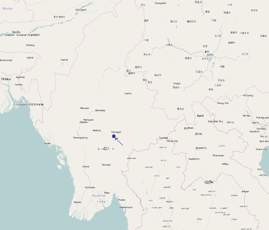
English: Overview map of Myanmar with the location of Inle Lake indicated by a dot and arrow. |
| Date | |
| Source | OpenStreetMap - www.openstreetmap.org |
| Author | Community, location dot added by Pim Rijkee |
This is just a draft as a map was needed at the Inle Lake article.
Licensing
edit
This file is licensed under the Creative Commons Attribution-Share Alike 2.5 Generic license.
- You are free:
- to share – to copy, distribute and transmit the work
- to remix – to adapt the work
- Under the following conditions:
- attribution – You must give appropriate credit, provide a link to the license, and indicate if changes were made. You may do so in any reasonable manner, but not in any way that suggests the licensor endorses you or your use.
- share alike – If you remix, transform, or build upon the material, you must distribute your contributions under the same or compatible license as the original.
File history
Click on a date/time to view the file as it appeared at that time.
| Date/Time | Thumbnail | Dimensions | User | Comment | |
|---|---|---|---|---|---|
| current | 10:51, 2 August 2009 | | 924 × 790 (193 KB) | PimRijkee (talk | contribs) | {{Information |Description={{en|1=Overview map of Myanmar with the location of Inle Lake indicated by a dot and arrow.}} |Source=OpenStreetMap - www.openstreetmap.org |Author=Community, location dot added by Pim Rijkee |Date=1989-08-02 |Permission= |othe |
You cannot overwrite this file.
File usage on Commons
There are no pages that use this file.