File:Map Le Mans.jpg

Size of this preview: 491 × 599 pixels. Other resolutions: 197 × 240 pixels | 393 × 480 pixels | 629 × 768 pixels | 839 × 1,024 pixels | 1,791 × 2,185 pixels.
Original file (1,791 × 2,185 pixels, file size: 3.03 MB, MIME type: image/jpeg)
Captions
Captions
Add a one-line explanation of what this file represents
Summary edit
| Description |
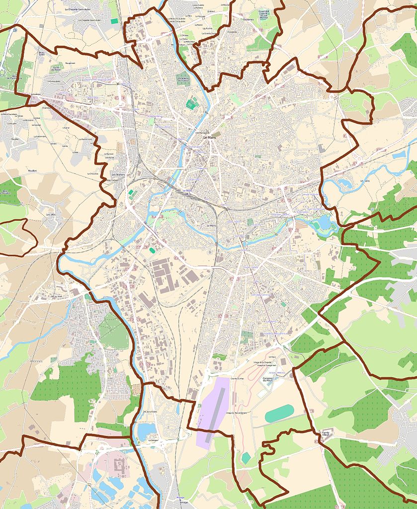
English: Maps of Le Mans, France
Français : Carte de la ville de Le Mans, France |
||||||||||||
| Date | |||||||||||||
| Source |
|
||||||||||||
| Author | OpenStreetMap contributors |
Licensing edit
This file is licensed under the Creative Commons Attribution-Share Alike 3.0 Unported license.
- You are free:
- to share – to copy, distribute and transmit the work
- to remix – to adapt the work
- Under the following conditions:
- attribution – You must give appropriate credit, provide a link to the license, and indicate if changes were made. You may do so in any reasonable manner, but not in any way that suggests the licensor endorses you or your use.
- share alike – If you remix, transform, or build upon the material, you must distribute your contributions under the same or compatible license as the original.
File history
Click on a date/time to view the file as it appeared at that time.
| Date/Time | Thumbnail | Dimensions | User | Comment | |
|---|---|---|---|---|---|
| current | 16:17, 28 July 2011 | | 1,791 × 2,185 (3.03 MB) | XIIIfromTOKYO (talk | contribs) | {{Information |Description ={{en|1=Maps of Le Mans, France}} {{fr|1=Carte de la ville de Le Mans, France}} |Source ={{openstreetmap}} |Author =OpenStreetMap contributors |Date =2011-07-28 |Permission = |other_versions = }} |
You cannot overwrite this file.
File usage on Commons
There are no pages that use this file.
File usage on other wikis
The following other wikis use this file:
- Usage on ar.wikipedia.org
- Usage on ceb.wikipedia.org
- Usage on da.wikipedia.org
- Usage on eo.wikipedia.org
- Usage on fa.wikipedia.org
- Usage on fr.wikipedia.org
- École supérieure des ingénieurs géomètres et topographes
- Stade Léon-Bollée
- Circuit Bugatti
- Abbaye de l'Épau
- Antarès (Le Mans)
- Université du Mans
- Saint-Pavin-des-Champs
- Bellevue (Sarthe)
- Avenue Bollée
- Quartier Jean-Jaurès
- Antarès-Technoparc
- Quartier Gare Sud
- Quartier Gare Nord
- Quartier Gallière
- Saint-Nicolas (Le Mans)
- Cité Plantagenêt
- Quartier des Jacobins (Le Mans)
- Les Maillets
- Pontlieue
- Les Sablons
- Gazonfier
- Palais des congrès et de la culture du Mans
- Musée de Tessé
- Stade Marie-Marvingt
- Quinconces des Jacobins
- Enceinte gallo-romaine du Mans
- Ronceray-Glonnières
- Cathédrale Saint-Julien du Mans
- Circuit des 24 Heures
- Église Notre-Dame de la Couture du Mans
- Lycée Bellevue (Le Mans)
- Musée des 24 Heures du Mans
- Abbaye Saint-Pierre de la Couture
- Palais des comtes du Maine
- Chapelle de la Visitation du Mans
- Église abbatiale Notre-Dame-du-Pré
- Usine Renault ACI du Mans
- Novaxud
- Cityglace
- Quartier Bollée-Sainte-Croix
View more global usage of this file.