File:Map Qing territory Taiwan 1873.jpg
Size of this preview: 800 × 294 pixels. Other resolutions: 320 × 118 pixels | 640 × 235 pixels | 1,024 × 377 pixels | 2,621 × 964 pixels.
Original file (2,621 × 964 pixels, file size: 2.13 MB, MIME type: image/jpeg)
Captions
Captions
Add a one-line explanation of what this file represents
Summary
edit
| Description |
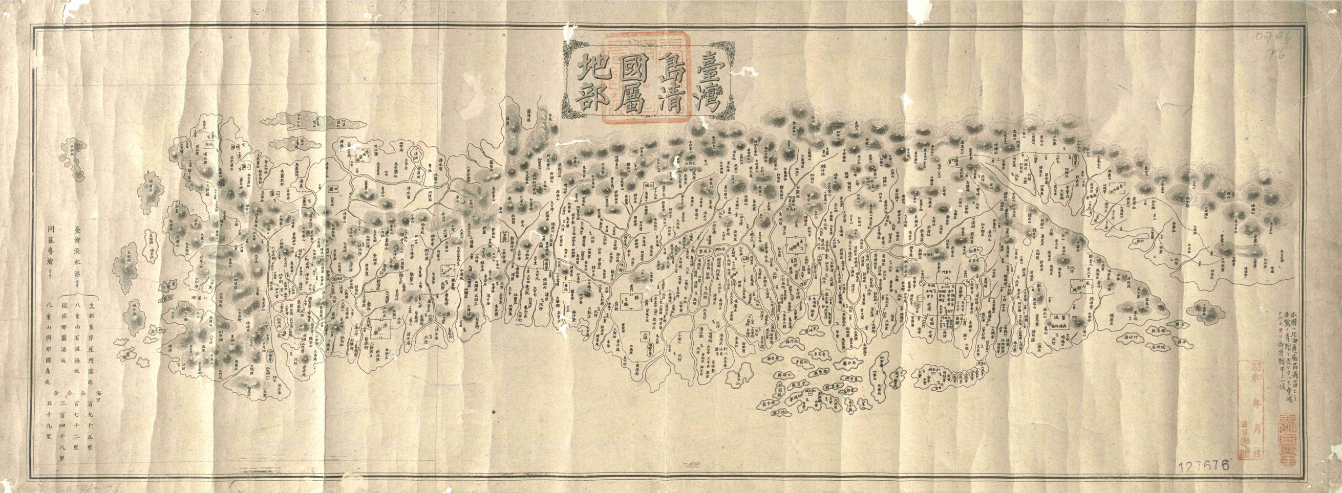
中文:〈臺灣島清國屬地部〉。此圖系根據臺灣鎮總兵張其光藏圖改繪,約刻板於1873年。 |
| Date | circa 1873 |
| Source |
http://ihc.apc.gov.tw/Journals.php?pid=615&id=709 南天書局 國立臺灣圖書館 |
| Author | as shown on maps |
Licensing
edit
|
This work is in the public domain in its country of origin and other countries and areas where the copyright term is the author's life plus 70 years or fewer. This work is in the public domain in the United States because it was published (or registered with the U.S. Copyright Office) before January 1, 1929. | |
| This file has been identified as being free of known restrictions under copyright law, including all related and neighboring rights. | |
File history
Click on a date/time to view the file as it appeared at that time.
| Date/Time | Thumbnail | Dimensions | User | Comment | |
|---|---|---|---|---|---|
| current | 21:11, 16 November 2016 | 2,621 × 964 (2.13 MB) | Hst0129 (talk | contribs) | User created page with UploadWizard |
You cannot overwrite this file.
File usage on Commons
There are no pages that use this file.
File usage on other wikis
The following other wikis use this file:
- Usage on en.wikipedia.org
- Usage on uk.wikipedia.org
- Usage on zh.wikipedia.org