File:Map Saint-Nazaire.jpg
Size of this preview: 715 × 599 pixels. Other resolutions: 286 × 240 pixels | 573 × 480 pixels | 916 × 768 pixels | 1,221 × 1,024 pixels | 2,178 × 1,826 pixels.
Original file (2,178 × 1,826 pixels, file size: 2.4 MB, MIME type: image/jpeg)
Captions
Captions
Add a one-line explanation of what this file represents
Summary edit
| Description |
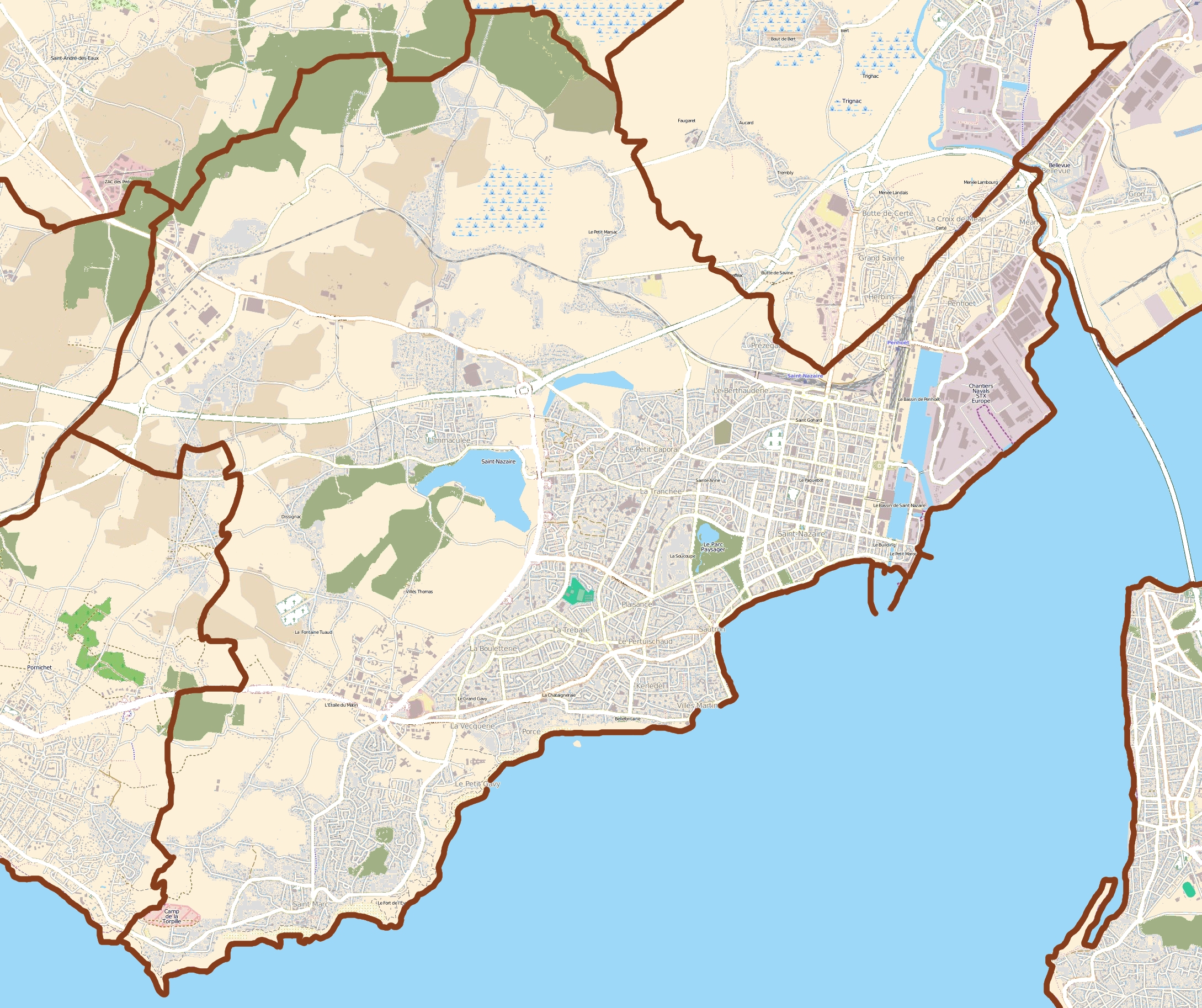
English: Map of Saint-Nazaire, France
Français : Carte de Saint-Nazaire, France |
||||||||||||
| Date | |||||||||||||
| Source |
|
||||||||||||
| Author | OpenStreetMap contributors |
Licensing edit
This file is licensed under the Creative Commons Attribution-Share Alike 3.0 Unported license.
- You are free:
- to share – to copy, distribute and transmit the work
- to remix – to adapt the work
- Under the following conditions:
- attribution – You must give appropriate credit, provide a link to the license, and indicate if changes were made. You may do so in any reasonable manner, but not in any way that suggests the licensor endorses you or your use.
- share alike – If you remix, transform, or build upon the material, you must distribute your contributions under the same or compatible license as the original.
File history
Click on a date/time to view the file as it appeared at that time.
| Date/Time | Thumbnail | Dimensions | User | Comment | |
|---|---|---|---|---|---|
| current | 18:30, 27 July 2011 | | 2,178 × 1,826 (2.4 MB) | XIIIfromTOKYO (talk | contribs) | {{Information |Description ={{en|1=Map of Saint-Nazaire, France}} {{fr|1=Carte de Saint-Nazaire, France}} |Source ={{openstreetmap}} |Author =OpenStreetMap contributors |Date =2011-07-27 |Permission = |other_versions = }} |
You cannot overwrite this file.
File usage on Commons
The following page uses this file:
File usage on other wikis
The following other wikis use this file:
- Usage on ar.wikipedia.org
- Usage on ceb.wikipedia.org
- Usage on da.wikipedia.org
- Usage on eo.wikipedia.org
- Usage on es.wikipedia.org
- Usage on fa.wikipedia.org
- Usage on fr.wikipedia.org
- Forme Joubert
- Tumulus de Dissignac
- Méan (Saint-Nazaire)
- Écomusée de Saint-Nazaire
- Dolmen des Trois Pierres (Saint-Nazaire)
- Saint-Marc-sur-Mer
- Base sous-marine de Saint-Nazaire
- Forges de Trignac
- Phare de Kerlédé
- Suite de triangles
- Lycée expérimental de Saint-Nazaire
- Palais des sports de Saint-Nazaire
- Modèle:Géolocalisation/Saint-Nazaire
- Pointe de Chémoulin
- Gare de Saint-André-des-Eaux
- Rond-point Océanis (Saint-Nazaire)
- Avenue de la République (Saint-Nazaire)
- Phare de Ville-ès-Martin
- Avenue du Général-de-Gaulle (Saint-Nazaire)
- Rue Albert-de-Mun (Saint-Nazaire)
- Escal'Atlantic
- Église Saint-Gohard de Saint-Nazaire
- Ancienne gare de Saint-Nazaire
- Usine élévatoire de Saint-Nazaire
- Bombardement de Saint-Nazaire du 9 novembre 1942
- Le Grand Café (centre d'art contemporain)
- Usage on kn.wikipedia.org
- Usage on tr.wikipedia.org
- Usage on war.wikipedia.org