File:Map Yerevan.png

Size of this preview: 769 × 600 pixels. Other resolutions: 308 × 240 pixels | 616 × 480 pixels | 985 × 768 pixels | 1,148 × 895 pixels.
Original file (1,148 × 895 pixels, file size: 515 KB, MIME type: image/png)
Captions
Captions
Add a one-line explanation of what this file represents
| Description |
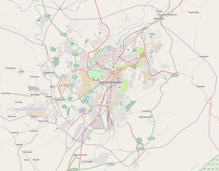
This map of Yerevan was created from OpenStreetMap project data, collected by the community. This map may be incomplete, and may contain errors. Don't rely solely on it for navigation. |
|||||||||
| Date | (see file history) | |||||||||
| Source | openstreetmap.org | |||||||||
| Creator |
OpenStreetMap contributors |
|||||||||
| Permission (Reusing this file) |
OpenStreetMap data and maps are licensed under the Creative Commons Attribution-ShareAlike 2.0 license (CC-BY-SA 2.0). This file is licensed under the Creative Commons Attribution-Share Alike 2.0 Generic license.
|
|||||||||
| Geotemporal data | ||||||||||
| Bounding box |
|
|||||||||
| Georeferencing | If inappropriate please set warp_status = skip to hide. | |||||||||
File history
Click on a date/time to view the file as it appeared at that time.
| Date/Time | Thumbnail | Dimensions | User | Comment | |
|---|---|---|---|---|---|
| current | 11:25, 26 July 2012 | | 1,148 × 895 (515 KB) | Sardur (talk | contribs) | {{OpenStreetMap |location= Yerevan |authors=Sardur |top= 40.2684 |bottom= 40.079 |left= 44.3522 |right= 44.6701 }} Category:Maps of Yerevan |
You cannot overwrite this file.
File usage on Commons
There are no pages that use this file.
File usage on other wikis
The following other wikis use this file:
- Usage on bg.wikipedia.org
- Usage on fa.wikipedia.org
- Usage on fr.wikipedia.org
- Erebouni
- Aéroport international Zvartnots
- Stade Hrazdan
- Aéroport Erebouni
- Stade Républicain Vazgen-Sargsian
- Stade Mika
- Stade Alashkert
- Pont de la Victoire
- Pont Rouge
- Pont de Davtachen
- Barekamoutioun (métro d'Erevan)
- Marchal Baghramian (métro d'Erevan)
- Sassountsi David (métro d'Erevan)
- Place Garéguine Njdeh (métro d'Erevan)
- Université d'État d'ingénierie d'Arménie
- Waterworld (Erevan)
- Zoravar Andranik (métro d'Erevan)
- Yeritasardakan (métro d'Erevan)
- Ajapnyak (métro d'Erevan)
- Nazarbekian (métro d'Erevan)
- Play City
- Banque centrale d'Arménie
- Place de la République (métro d'Erevan)
- Lac Erevanian
- Ambassade de France en Arménie
- Fusillade du Parlement arménien de 1999
- Lac Vardavar
- Erablur
- Université française en Arménie
- Modèle:Géolocalisation/Erevan
- Université américaine d'Arménie
- Cinéma Moscou
- Module:Carte/données/erevan
- Gare d'Erevan
- Gortsaranaïn (métro d'Erevan)
- Chengavit (métro d'Erevan)
- Tcharbakh (métro d'Erevan)
- Rue Tamanian
- Stade Urartu
- Place Garéguine Njdeh
View more global usage of this file.