File:Map germany with coats-of-arms.png

Size of this preview: 443 × 600 pixels. Other resolutions: 177 × 240 pixels | 354 × 480 pixels | 567 × 768 pixels | 756 × 1,024 pixels | 1,971 × 2,668 pixels.
Original file (1,971 × 2,668 pixels, file size: 675 KB, MIME type: image/png)
Captions
Captions
Add a one-line explanation of what this file represents
Summary edit

.svg)
.svg)
.svg)
| This is a retouched picture, which means that it has been digitally altered from its original version. Modifications: my changes are in public domain. The original can be viewed here: Karte Bundesrepublik Deutschland.svg:
|
Original upload log edit
Original upload logs of source images can be found here.
File history
Click on a date/time to view the file as it appeared at that time.
| Date/Time | Thumbnail | Dimensions | User | Comment | |
|---|---|---|---|---|---|
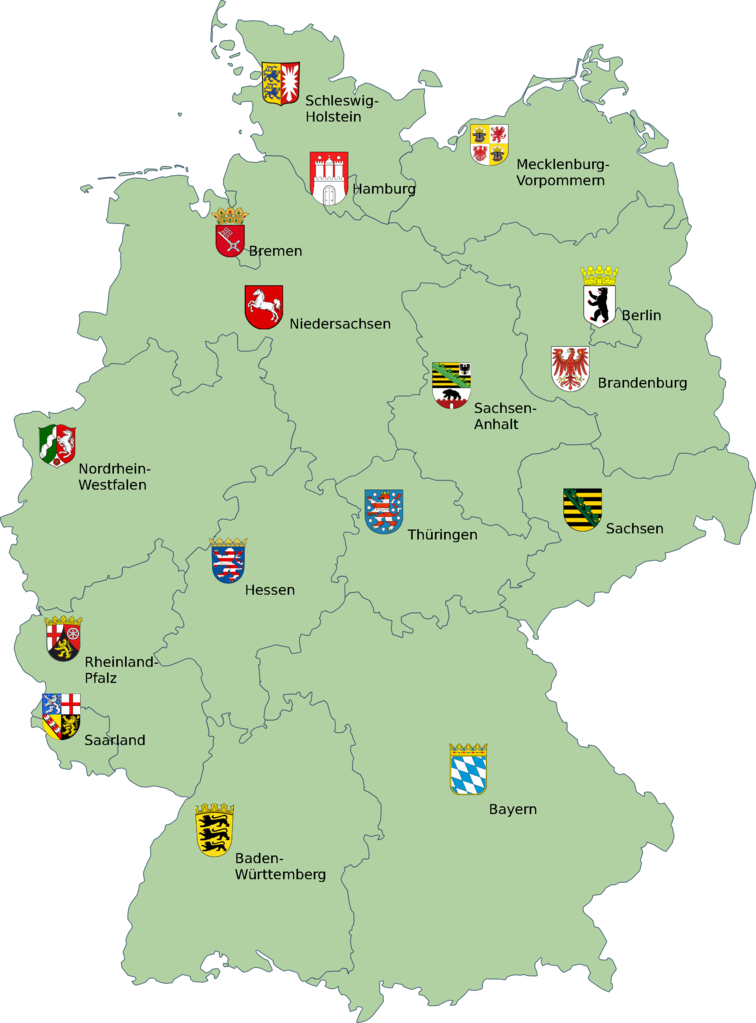
| current | 21:51, 8 June 2009 | | 1,971 × 2,668 (675 KB) | Georg Slickers (talk | contribs) | {{Information |Description={{de|Karte der Bundesrepublik Deutschland mit eingezeichneten Grenzen der Bundesländer.}}{{de|Kleines Wappen des Freistaates Bayern}} {{en|Lesser arms of the freestate of Bavaria}} |
You cannot overwrite this file.
File usage on Commons
The following page uses this file:
File usage on other wikis
The following other wikis use this file:
- Usage on eu.wikipedia.org
- Usage on nn.wikipedia.org
- Usage on rm.wikipedia.org
- Usage on ru.wikipedia.org