File:Map of Abyssinia and the adjacent districts laid down partly from original Observations taken in the Country and partly compiled from information collected there by Henry Salt... in 1809 & 1810. The Course of the... - btv1b53006724j.jpg

Size of this preview: 763 × 600 pixels. Other resolutions: 305 × 240 pixels | 611 × 480 pixels | 977 × 768 pixels | 1,280 × 1,006 pixels | 2,560 × 2,012 pixels | 9,585 × 7,534 pixels.
Original file (9,585 × 7,534 pixels, file size: 10.59 MB, MIME type: image/jpeg)
Captions
Captions
Add a one-line explanation of what this file represents
Summary
edit| Warning | The original file is very high-resolution. It might not load properly or could cause your browser to freeze when opened at full size. |
|---|
| Artist |
Alexander Macpherson (engraver), after John Outhett, and Henry Salt |
||||||||||||||||||||||||||
| Author |
Salt, Henry (1780 -1827). Auteur du texte Outhett, John (17..?-18..). Fonction indéterminée Mcpherson, Alexander (17..?-18..). Fonction indéterminée RIVINGTON (F.C. & J.) (Londres). Auteur du texte |
||||||||||||||||||||||||||
| Title |
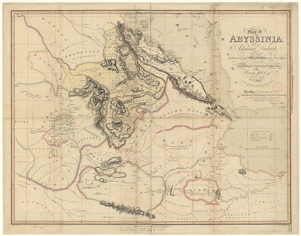
Map of Abyssinia and the adjacent districts laid down partly from original Observations taken in the Country and partly compiled from information collected there by Henry Salt, ... in 1809 & 1810. The Course of the Nile and parts to the westward of Samen are laid down from Mr. Bruce's Maps. This Map is Dedicated to the Right Honorable Viscount Valentia, ... / by... Henry Salt. Scale of British Miles 80 [=Om. 084 ; 1 : 1 533 000 environ] ; Drawn by J. Outhett ; Engraved by A. Macpherson |
||||||||||||||||||||||||||
| Description |
English: Plate 9. facing p. 137. A voyage to Abyssinia, and travels into the interior of that country, executed under the orders of the British government in the years 1809 & 1810
Français : Sujet : Abyssinie
Couverture : Monde Langue : anglais Éditeur : F.C. & J. Rivington (London) |
||||||||||||||||||||||||||
| Date | 1814 | ||||||||||||||||||||||||||
| Collection |
|
||||||||||||||||||||||||||
| References |
Français : Notice du catalogue : http://catalogue.bnf.fr/ark:/12148/cb40593252q |
||||||||||||||||||||||||||
| Source/Photographer |
Français : Bibliothèque nationale de France, GED-4052
Bibliothèque nationale de France |
||||||||||||||||||||||||||
| Permission (Reusing this file) |
|
||||||||||||||||||||||||||
| Other versions |
|
||||||||||||||||||||||||||

.jpg)
Licensing
edit
|
This is a faithful photographic reproduction of a two-dimensional, public domain work of art. The work of art itself is in the public domain for the following reason:
The official position taken by the Wikimedia Foundation is that "faithful reproductions of two-dimensional public domain works of art are public domain".
This photographic reproduction is therefore also considered to be in the public domain in the United States. In other jurisdictions, re-use of this content may be restricted; see Reuse of PD-Art photographs for details. | ||||
File history
Click on a date/time to view the file as it appeared at that time.
| Date/Time | Thumbnail | Dimensions | User | Comment | |
|---|---|---|---|---|---|
| current | 21:20, 20 July 2022 | | 9,585 × 7,534 (10.59 MB) | Gzen92Bot (talk | contribs) | Gallica btv1b53006724j |
You cannot overwrite this file.
File usage on Commons
The following 2 pages use this file:
- File:General map of Abyssinia and the adjacent districts laid down partly from original Observations taken in the Country and partly compiled from information collected there by Henry Salt... in 1809 & 1810 (Plate 9. page 137).jpg
- File:Map of Abyssinia and the adjacent districts laid down partly from original Observations taken in the Country and partly compiled from information collected there by Henry Salt... in 1809 & 1810. The Course of the... - btv1b53006724j.jpg