File:Map of Brussels around 1699 - 1706.jpg
Size of this preview: 775 × 599 pixels. Other resolutions: 310 × 240 pixels | 621 × 480 pixels | 993 × 768 pixels | 1,081 × 836 pixels.
Original file (1,081 × 836 pixels, file size: 383 KB, MIME type: image/jpeg)
Captions
Captions
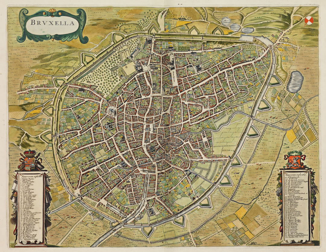
Map of Brussels around 1699 - 1706.
Summary
edit
| Description |
English: Map of Brussels around 1699 - 1706.
Français : Plan de Bruxelles vers 1699 - 1706.
Nederlands: Kaart van Brussel rond 1699 - 1706. |
| Date | |
| Source | https://www.wdl.org/en/item/14419/ |
| Author | Frederik de Wit (1630 -1706) |
Licensing
edit
|
This work is in the public domain in its country of origin and other countries and areas where the copyright term is the author's life plus 70 years or fewer. This work is in the public domain in the United States because it was published (or registered with the U.S. Copyright Office) before January 1, 1929. | |
| This file has been identified as being free of known restrictions under copyright law, including all related and neighboring rights. | |
File history
Click on a date/time to view the file as it appeared at that time.
| Date/Time | Thumbnail | Dimensions | User | Comment | |
|---|---|---|---|---|---|
| current | 19:15, 28 September 2021 | | 1,081 × 836 (383 KB) | KingBaudoin (talk | contribs) | Uploaded a work by Frederik de Wit (1630 -1706) from https://www.wdl.org/en/item/14419/ with UploadWizard |
You cannot overwrite this file.
File usage on Commons
There are no pages that use this file.
File usage on other wikis
The following other wikis use this file:
- Usage on ps.wikipedia.org