File:Map of Burut-Kyrgyz.png
Map_of_Burut-Kyrgyz.png (536 × 421 pixels, file size: 458 KB, MIME type: image/png)
Captions
Captions
Summary
edit
| Description |
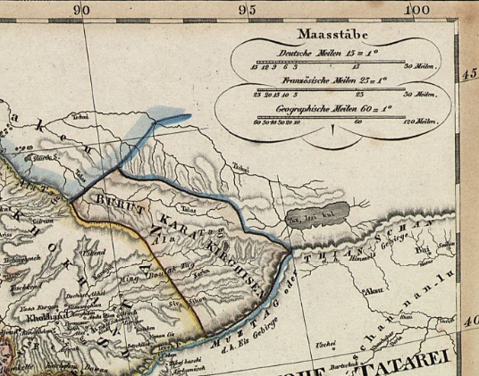
English: Map of Burut-Kyrgyz at the beginning of the 19th century |
| Date | |
| Source | https://www.loc.gov/resource/g7620.ct001143/?r=0.501,0.008,0.566,0.348,0 |
| Author | Adolf Stieler |
| Other versions |
 |
Licensing
edit
|
This work is in the public domain in its country of origin and other countries and areas where the copyright term is the author's life plus 70 years or fewer.
| |
| This file has been identified as being free of known restrictions under copyright law, including all related and neighboring rights. | |
File history
Click on a date/time to view the file as it appeared at that time.
| Date/Time | Thumbnail | Dimensions | User | Comment | |
|---|---|---|---|---|---|
| current | 16:03, 4 November 2022 | | 536 × 421 (458 KB) | Foggy kub (talk | contribs) | Uploaded a work by Adolf Stieler from https://www.loc.gov/resource/g7620.ct001143/?r=0.501,0.008,0.566,0.348,0 with UploadWizard |
You cannot overwrite this file.
File usage on Commons
There are no pages that use this file.
File usage on other wikis
The following other wikis use this file:
- Usage on en.wikipedia.org
- Usage on ky.wikipedia.org
- Usage on tr.wikipedia.org