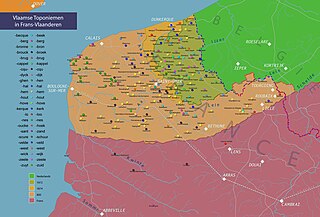
File:Map of French Flemish.jpg

Size of this preview: 800 × 543 pixels. Other resolutions: 320 × 217 pixels | 640 × 434 pixels | 1,024 × 695 pixels | 1,280 × 869 pixels | 2,560 × 1,737 pixels | 4,349 × 2,951 pixels.
Original file (4,349 × 2,951 pixels, file size: 1.38 MB, MIME type: image/jpeg)
Captions
Captions
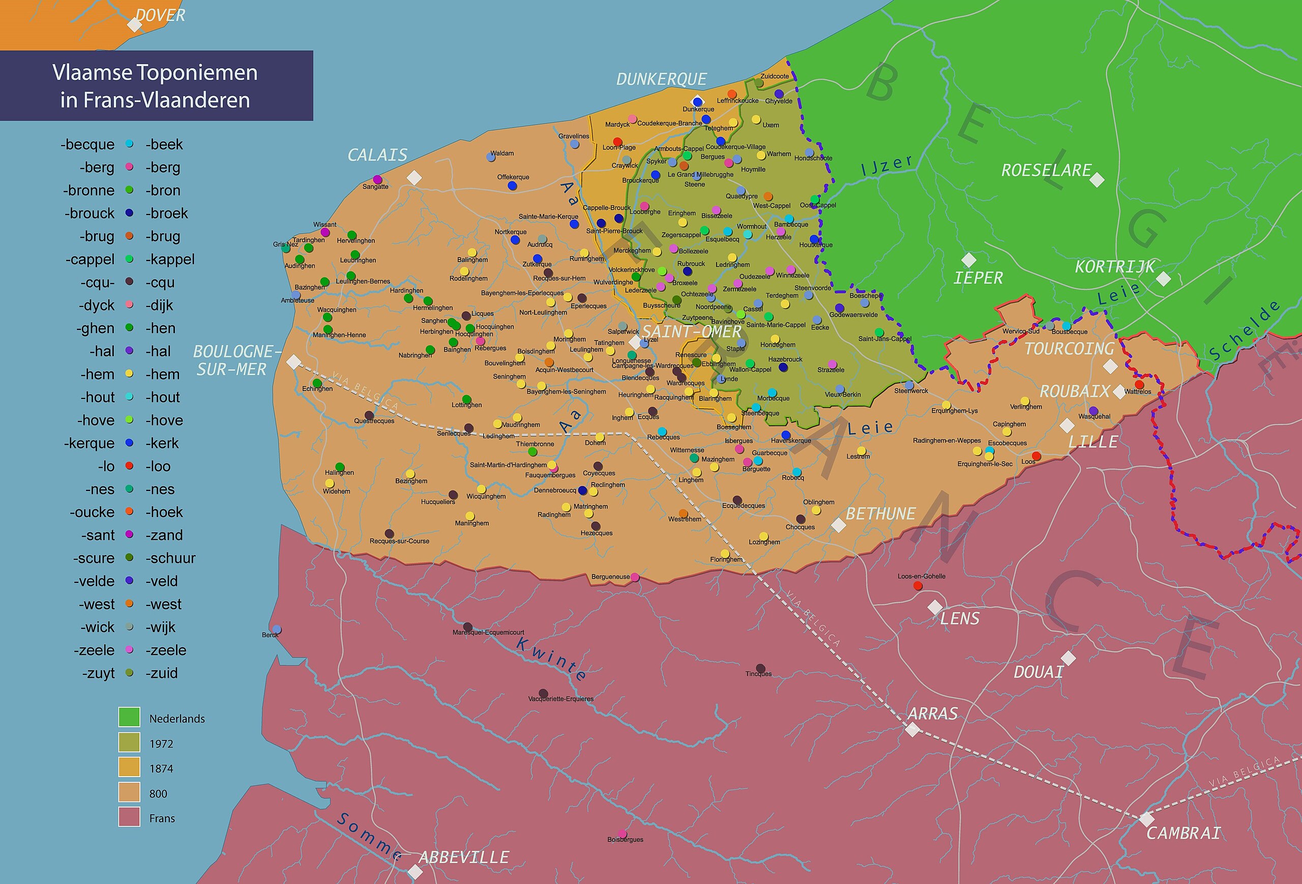
Map of Dutch/Flemish language in France
Summary
edit| Description |
English: This map shows placenames of Flemish origin in France and historical limits of Dutch/Flemish language in France.
Nederlands: Kaart met plaatsnamen van Vlaamse origine, en historische taalgrenzen in Frans Vlaanderen. |
| Date | |
| Source | Own work |
| Author | Arvanhar |

Licensing
edit
I, the copyright holder of this work, hereby publish it under the following license:
This file is licensed under the Creative Commons Attribution-Share Alike 4.0 International license.
- You are free:
- to share – to copy, distribute and transmit the work
- to remix – to adapt the work
- Under the following conditions:
- attribution – You must give appropriate credit, provide a link to the license, and indicate if changes were made. You may do so in any reasonable manner, but not in any way that suggests the licensor endorses you or your use.
- share alike – If you remix, transform, or build upon the material, you must distribute your contributions under the same or compatible license as the original.
File history
Click on a date/time to view the file as it appeared at that time.
| Date/Time | Thumbnail | Dimensions | User | Comment | |
|---|---|---|---|---|---|
| current | 21:33, 29 May 2023 | | 4,349 × 2,951 (1.38 MB) | Arvanhar (talk | contribs) | layout |
| 21:26, 29 May 2023 |  | 4,350 × 4,350 (1.95 MB) | Arvanhar (talk | contribs) | Uploaded own work with UploadWizard |
You cannot overwrite this file.
File usage on Commons
There are no pages that use this file.
File usage on other wikis
The following other wikis use this file:
- Usage on nl.wikipedia.org