File:Map of Holmes County Ohio Highlighting Mechanic Township.png
No higher resolution available.
Map_of_Holmes_County_Ohio_Highlighting_Mechanic_Township.png (628 × 375 pixels, file size: 17 KB, MIME type: image/png)
Captions
Captions
Add a one-line explanation of what this file represents
| Description |
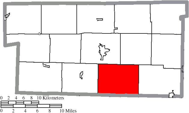
English: Map of the municipal and township boundaries of Holmes County, Ohio, United States, as of the 2000 census, with the location of Mechanic Township highlighted. Township borders are shown only in unincorporated areas in order to differentiate incorporated and unincorporated areas more clearly. |
| Date | |
| Source | File:Map of Holmes County Ohio With Municipal and Township Labels.PNG |
| Author | Ruhrfisch and Nyttend |
| Permission (Reusing this file) |
This file is licensed under the Creative Commons Attribution-Share Alike 3.0 Unported license.
|
File history
Click on a date/time to view the file as it appeared at that time.
| Date/Time | Thumbnail | Dimensions | User | Comment | |
|---|---|---|---|---|---|
| current | 12:58, 22 August 2015 | | 628 × 375 (17 KB) | Nyttend (talk | contribs) | {{Information |Description={{en|Map of the municipal and township boundaries of {{w|Holmes County, Ohio|Holmes County}}, {{w|Ohio}}, {{w|United States}}, as of the 2000 census, with the location of {{w|Mechanic Township, Holmes County, Ohio|Mechanic To... |
You cannot overwrite this file.
File usage on Commons
The following page uses this file:
File usage on other wikis
The following other wikis use this file:
- Usage on en.wikipedia.org
- Usage on eu.wikipedia.org
- Usage on fa.wikipedia.org
- Usage on pt.wikipedia.org
- Usage on www.wikidata.org
- Usage on zh.wikipedia.org