File:Map of Illinois counties.svg

Size of this PNG preview of this SVG file: 336 × 599 pixels. Other resolutions: 134 × 240 pixels | 269 × 480 pixels | 430 × 768 pixels | 574 × 1,024 pixels | 1,148 × 2,048 pixels | 3,453 × 6,157 pixels.
Original file (SVG file, nominally 3,453 × 6,157 pixels, file size: 83 KB)
Captions
Captions
Add a one-line explanation of what this file represents
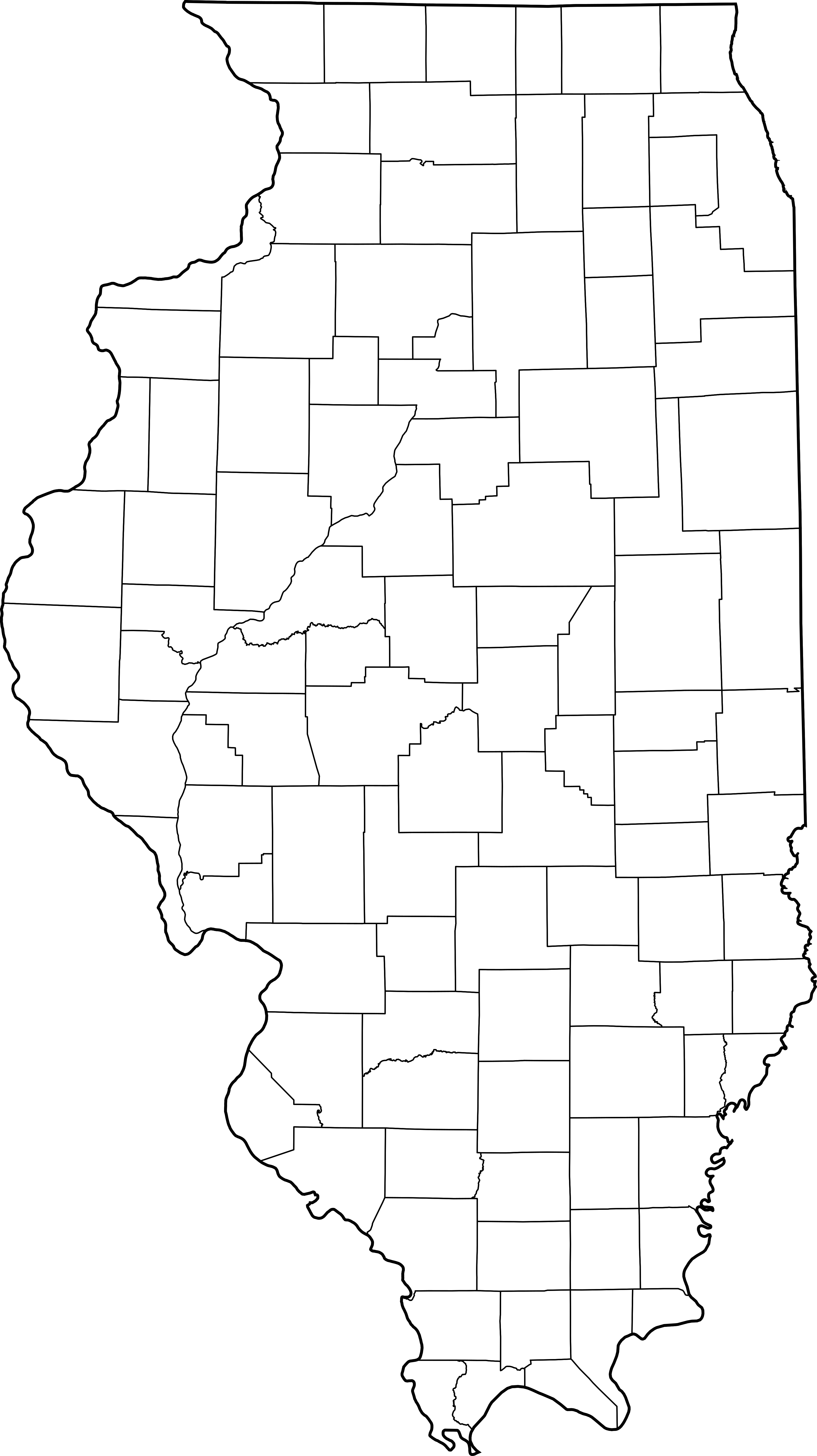
This is a map showing Illinois counties
Modification of David Benbennick's map. For more information, see Commons:United States county locator maps.
| I, the copyright holder of this work, release this work into the public domain. This applies worldwide. In some countries this may not be legally possible; if so: I grant anyone the right to use this work for any purpose, without any conditions, unless such conditions are required by law. |
derivative works edit
Derivative works of this file: Illinois judicial districts map.png
File history
Click on a date/time to view the file as it appeared at that time.
| Date/Time | Thumbnail | Dimensions | User | Comment | |
|---|---|---|---|---|---|
| current | 14:18, 2 February 2007 | | 3,453 × 6,157 (83 KB) | Dual Freq (talk | contribs) | This is a map showing Illinois counties Modification of David Benbennick's map. For more information, see Commons:United States county locator maps. {{PD-self}} Maps of Illinois]] |
You cannot overwrite this file.
File usage on Commons
The following 2 pages use this file:
File usage on other wikis
The following other wikis use this file: