File:Map of Indonesia relief location.png
No higher resolution available.
Map_of_Indonesia_relief_location.png (800 × 307 pixels, file size: 451 KB, MIME type: image/png)
Captions
Captions
Add a one-line explanation of what this file represents
| Description |
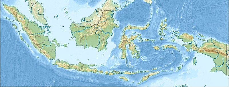
English: PNG version of File:Indonesia_relief_location_map.jpg
Equirectangular projection. Strechted by 100.0%. Geographic limits of the map: N: 6.5° N W: 94.5° E E: 141.5° E Made with Natural Earth. Free vector and raster map data @ naturalearthdata.com. S: -11.5° N |
| Date | |
| Source | http://en.wikipedia.org/wiki/File:Indonesia_relief_location_map.jpg |
| Author | User:Uwe Dedering |
| Permission (Reusing this file) |
"You are free: to share – to copy, distribute and transmit the work to remix – to adapt the work Under the following conditions: attribution – You must attribute the work in the manner specified by the author or licensor (but not in any way that suggests that they endorse you or your use of the work). share alike – If you alter, transform, or build upon this work, you may distribute the resulting work only under the same or similar license to this one." |
This file is licensed under the Creative Commons Attribution-Share Alike 1.0 Generic license.
- You are free:
- to share – to copy, distribute and transmit the work
- to remix – to adapt the work
- Under the following conditions:
- attribution – You must give appropriate credit, provide a link to the license, and indicate if changes were made. You may do so in any reasonable manner, but not in any way that suggests the licensor endorses you or your use.
- share alike – If you alter, transform, or build upon this work, you must distribute the resulting work under the same license as the original.
File history
Click on a date/time to view the file as it appeared at that time.
| Date/Time | Thumbnail | Dimensions | User | Comment | |
|---|---|---|---|---|---|
| current | 09:08, 4 August 2013 | 800 × 307 (451 KB) | Hz.tiang (talk | contribs) | {{subst:Upload marker added by en.wp UW}} {{Information |Description = {{en|PNG version of File:Indonesia_relief_location_map.jpg Equirectangular projection. Strechted by 100.0%. Geographic limits of the map: N: 6.5° N W: 94.5° E E: 141.5° E Made ... |
You cannot overwrite this file.
File usage on Commons
There are no pages that use this file.
File usage on other wikis
The following other wikis use this file:
- Usage on hu.wikipedia.org
- Usage on hu.wiktionary.org
- Usage on km.wikipedia.org