File:Map of Korea-blank.svg

Size of this PNG preview of this SVG file: 343 × 599 pixels. Other resolutions: 137 × 240 pixels | 274 × 480 pixels | 439 × 768 pixels | 586 × 1,024 pixels | 1,172 × 2,048 pixels | 1,655 × 2,892 pixels.
Original file (SVG file, nominally 1,655 × 2,892 pixels, file size: 1.04 MB)
Captions
Captions
Add a one-line explanation of what this file represents
Summary
edit
| Description |
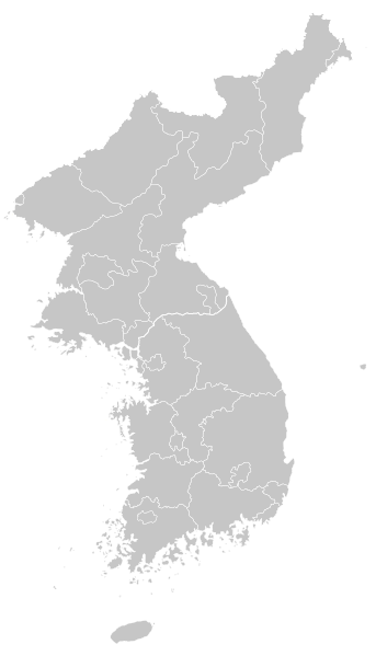
English: Blank map of Korea
한국어: 한반도 백지도 |
| Date | |
| Source | adapted File:Korea location map.svg |
| Author | Originally created by NordNordWest, Adapted by FriedC |
| Other versions | Derivative works of this file: Primary Administrative Subdivisions of the Korean Peninsula.svg |
Licensing
edit
I, the copyright holder of this work, hereby publish it under the following licenses:
This file is licensed under the Creative Commons Attribution-Share Alike 3.0 Unported license.
- You are free:
- to share – to copy, distribute and transmit the work
- to remix – to adapt the work
- Under the following conditions:
- attribution – You must give appropriate credit, provide a link to the license, and indicate if changes were made. You may do so in any reasonable manner, but not in any way that suggests the licensor endorses you or your use.
- share alike – If you remix, transform, or build upon the material, you must distribute your contributions under the same or compatible license as the original.

|
Permission is granted to copy, distribute and/or modify this document under the terms of the GNU Free Documentation License, Version 1.2 or any later version published by the Free Software Foundation; with no Invariant Sections, no Front-Cover Texts, and no Back-Cover Texts. A copy of the license is included in the section entitled GNU Free Documentation License. |
You may select the license of your choice.
File history
Click on a date/time to view the file as it appeared at that time.
| Date/Time | Thumbnail | Dimensions | User | Comment | |
|---|---|---|---|---|---|
| current | 21:37, 19 November 2009 | | 1,655 × 2,892 (1.04 MB) | FriedC (talk | contribs) | {{Information |Description={{en|1=Blank map of Korea}} {{ko|1=한반도 백지도}} |Source=adapted File:Korea location map.svg |Author=Originally created by NordNordWest, Adapted by FriedC |Date=2009-11-18 |Perm |
You cannot overwrite this file.
File usage on Commons
The following 2 pages use this file:
File usage on other wikis
The following other wikis use this file:
- Usage on en.wikipedia.org
- Korea
- Battle of Chosin Reservoir
- Paju
- Yeoncheon County
- Osan Air Base
- Battle of Sacheon (1592)
- Battle of Chungju
- Battle of Osan
- Inpyeong-dong
- Battle of Dangpo
- Battle of Sacheon (1598)
- Battle of Dadaejin
- Battle of Cheongju
- Battle of Seonghwan
- Prehistoric Korea
- Battle of Jiksan
- North Korea–South Korea football rivalry
- Module:Location map/data/Korea
- Module:Location map/data/Korea/doc
- Wonsan-Sunchon UFO incident
- Usage on fa.wikipedia.org
- Usage on ja.wikipedia.org
- Usage on ko.wikipedia.org
View more global usage of this file.