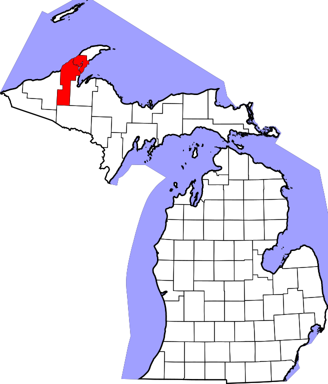
File:Map of Michigan highlighting Houghton County.svg

Size of this PNG preview of this SVG file: 512 × 599 pixels. Other resolutions: 205 × 240 pixels | 410 × 480 pixels | 656 × 768 pixels | 874 × 1,024 pixels | 1,749 × 2,048 pixels | 6,256 × 7,325 pixels.
Original file (SVG file, nominally 6,256 × 7,325 pixels, file size: 205 KB)
Captions
Captions
Add a one-line explanation of what this file represents
David Benbennick made this map. For more information, see Commons:United States county locator maps.
| I, the copyright holder of this work, release this work into the public domain. This applies worldwide. In some countries this may not be legally possible; if so: I grant anyone the right to use this work for any purpose, without any conditions, unless such conditions are required by law. |
File history
Click on a date/time to view the file as it appeared at that time.
| Date/Time | Thumbnail | Dimensions | User | Comment | |
|---|---|---|---|---|---|
| current | 12:54, 12 February 2006 | | 6,256 × 7,325 (205 KB) | David Benbennick (talk | contribs) | {{subst:User:Dbenbenn/clm|county=Houghton County|state=Michigan|type=county}} |
You cannot overwrite this file.
File usage on Commons
The following 4 pages use this file:
File usage on other wikis
The following other wikis use this file:
- Usage on ar.wikipedia.org
- مقاطعة هوتون (ميشيغان)
- هانكوك (ميشيغان)
- هوتون (ميشيغان)
- بلدة آدامز (مقاطعة هوتون)
- بلدة كالوميت (ميشيغان)
- بلدة شاسل (ميشيغان)
- بلدة دنكان (ميشيغان)
- بلدة إلم ريفر (ميشيغان)
- بلدة فرانكلين (مقاطعة هوتون)
- بلدة هانكوك (ميشيغان)
- بلدة ليرد (ميشيغان)
- بلدة أوسيولا (مقاطعة هوتون)
- بلدة بورتاغ (مقاطعة هوتون)
- بلدة كوينسي (مقاطعة هوتون)
- بلدة سكولكرافت (مقاطعة هوتون)
- بلدة ستانتون (ميشيغان)
- بلدة تورش ليك (مقاطعة هوتون)
- ساوث رينج (ميشيغان)
- كالوميت (ميشيغان)
- كوبر سيتي (ميشيغان)
- لاوريوم (ميشيغان)
- ليك ليندن (ميشيغان)
- هابل (ميشيغان)
- قالب:مقاطعة هوتون (ميشيغان)
- Usage on bg.wikipedia.org
- Usage on bpy.wikipedia.org
- Usage on cdo.wikipedia.org
- Usage on ceb.wikipedia.org
- Usage on cs.wikipedia.org
- Usage on cy.wikipedia.org
- Usage on de.wikipedia.org
- Usage on en.wikipedia.org
View more global usage of this file.