File:Map of Mu Ko Ang Thong.jpg
Size of this preview: 251 × 599 pixels. Other resolutions: 100 × 240 pixels | 399 × 952 pixels.
Original file (399 × 952 pixels, file size: 75 KB, MIME type: image/jpeg)
Captions
Captions
Add a one-line explanation of what this file represents
| Description |
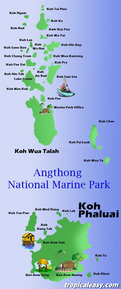
English: Map |
| Source | Unknown source |
| Author | Unknown author |
| Permission (Reusing this file) |
Evidence: The license statement can be found online at: http://www.tropicaleasy.com/files/a/tours/Map_AngThong_big.jpg |
- Other information
English: no

|
Permission is granted to copy, distribute and/or modify this document under the terms of the GNU Free Documentation License, Version 1.2 or any later version published by the Free Software Foundation; with no Invariant Sections, no Front-Cover Texts, and no Back-Cover Texts. A copy of the license is included in the section entitled GNU Free Documentation License. |
File history
Click on a date/time to view the file as it appeared at that time.
| Date/Time | Thumbnail | Dimensions | User | Comment | |
|---|---|---|---|---|---|
| current | 15:58, 3 March 2013 | | 399 × 952 (75 KB) | HonorTheIsland (talk | contribs) | {{subst:Upload marker added by en.wp UW}} {{Information |Description = {{en|Map}} |Source = Unknown |Author = Unknown |Permission = '''Evidence:''' The license statement can be found online at: http://www.tropicaleasy.com/files/a/tours/Map_AngThong_big... |
You cannot overwrite this file.
File usage on Commons
There are no pages that use this file.
File usage on other wikis
The following other wikis use this file:
- Usage on en.wikipedia.org
- Usage on fr.wikipedia.org
- Usage on th.wikipedia.org