File:Map of New Jersey municipalities.svg

Size of this PNG preview of this SVG file: 316 × 600 pixels. Other resolutions: 126 × 240 pixels | 253 × 480 pixels | 404 × 768 pixels | 539 × 1,024 pixels | 1,079 × 2,048 pixels | 791 × 1,501 pixels.
Original file (SVG file, nominally 791 × 1,501 pixels, file size: 365 KB)
Captions
Captions
Add a one-line explanation of what this file represents
Summary edit
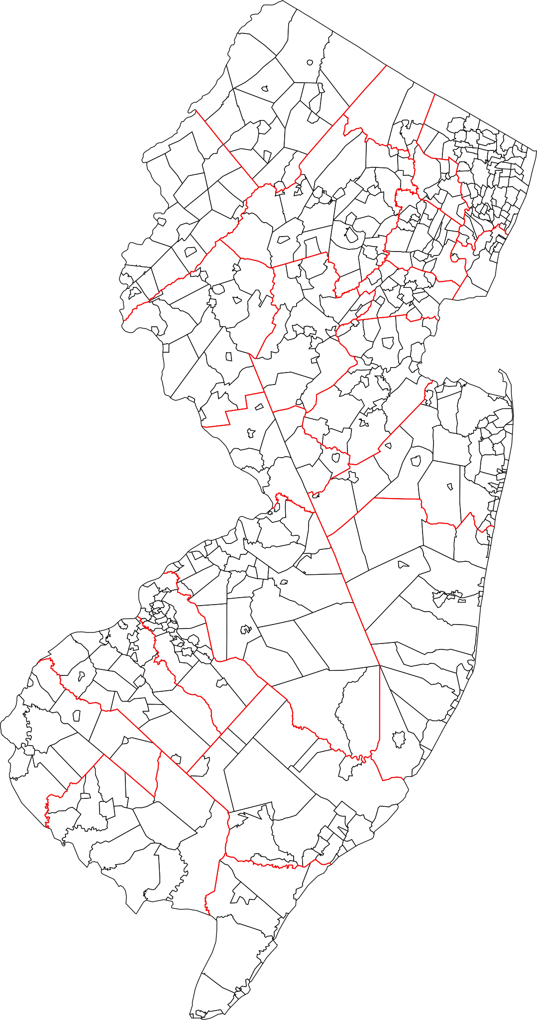
| Description | A blank map of all 564 New Jersey municipalities. Each of the objects' name in the svg is the name of the municipality. Red lines represent county borders |
| Date | |
| Source | Based on 1990 Cartographic Boundary Files, New Jersey County Subdivisions by the U.S. Census Bureau (public domain), modified to match current municipalities (merger of Pahaquarry and Hardwick townships, Princeton borough and township, Pine Hill and Pine Valley). |
| Author | Mr. Matté (if there is an issue with this image, contact me using this image's Commons talk page, my Commons user talk page, or my English Wikipedia user talk page; I'll know about it a lot faster) |
Licensing edit
| I, the copyright holder of this work, release this work into the public domain. This applies worldwide. In some countries this may not be legally possible; if so: I grant anyone the right to use this work for any purpose, without any conditions, unless such conditions are required by law. |
File history
Click on a date/time to view the file as it appeared at that time.
| Date/Time | Thumbnail | Dimensions | User | Comment | |
|---|---|---|---|---|---|
| current | 15:11, 29 January 2022 | | 791 × 1,501 (365 KB) | Mr. Matté (talk | contribs) | Updated map, now based on US Census boundary files/coordinates/NAVD datum, not traced from old map like old file |
| 00:10, 3 January 2013 |  | 1,495 × 2,770 (2.04 MB) | Mr. Matté (talk | contribs) | Update after consolidation of Princetons | |
| 14:39, 19 April 2008 |  | 1,496 × 2,770 (2.13 MB) | Mr. Matté (talk | contribs) | {{Information |Description=A blank map of all 566 New Jersey municipalities. Each of the objects' name in the svg is the name of the municipality. |Source=Based off of the various maps of indiv |
You cannot overwrite this file.
File usage on Commons
The following page uses this file:
File usage on other wikis
The following other wikis use this file:
- Usage on ar.wikipedia.org
- Usage on en.wikipedia.org
- Usage on es.wikipedia.org
- Usage on fa.wikipedia.org
- Usage on fr.wikipedia.org
- Usage on simple.wikipedia.org
- Usage on tr.wikipedia.org
- Usage on zh.wikipedia.org