File:Map of Petriny.png

Size of this preview: 600 × 600 pixels. Other resolutions: 240 × 240 pixels | 480 × 480 pixels | 793 × 793 pixels.
Original file (793 × 793 pixels, file size: 685 KB, MIME type: image/png)
Captions
Captions
Add a one-line explanation of what this file represents
Summary
edit
| Description |
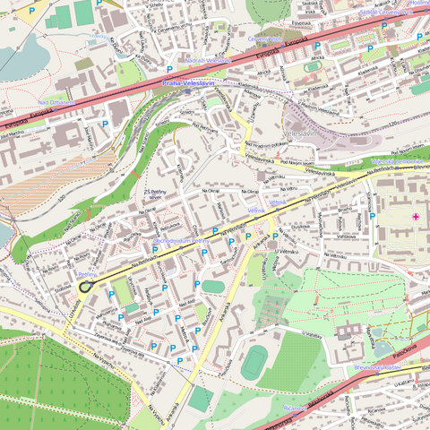
Čeština: Pražské sídliště Petřiny |
| Date | |
| Source | http://www.openstreetmap.org/?lat=50.09087&lon=14.34729&zoom=11&layers=M |
| Author | OpenStreetMap |
| Permission (Reusing this file) |
This file is licensed under the Creative Commons Attribution-Share Alike 3.0 Unported license.
|
File history
Click on a date/time to view the file as it appeared at that time.
| Date/Time | Thumbnail | Dimensions | User | Comment | |
|---|---|---|---|---|---|
| current | 12:43, 19 September 2011 | | 793 × 793 (685 KB) | Pastorius (talk | contribs) |
You cannot overwrite this file.
File usage on Commons
The following page uses this file:
File usage on other wikis
The following other wikis use this file:
- Usage on cs.wikipedia.org