File:Map of Prested Hall 1874.jpg

Size of this preview: 800 × 466 pixels. Other resolutions: 320 × 187 pixels | 640 × 373 pixels | 1,024 × 597 pixels | 1,280 × 746 pixels | 2,000 × 1,166 pixels.
Original file (2,000 × 1,166 pixels, file size: 384 KB, MIME type: image/jpeg)
Captions
Captions
Add a one-line explanation of what this file represents
Summary edit
| Description |
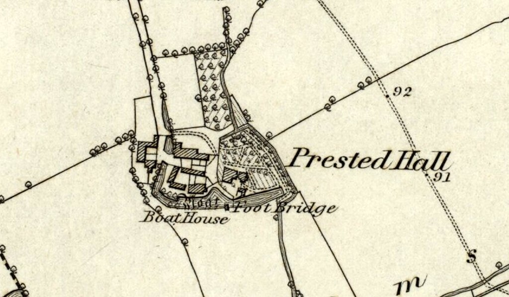
English: Map of Prested Hall, Feering 1874 |
| Source | Old Maps Online website |
| Author | Unknown author |
Licensing edit
|
This work is in the public domain in its country of origin and other countries and areas where the copyright term is the author's life plus 70 years or fewer. This work is in the public domain in the United States because it was published (or registered with the U.S. Copyright Office) before January 1, 1929. | |
| This file has been identified as being free of known restrictions under copyright law, including all related and neighboring rights. | |
File history
Click on a date/time to view the file as it appeared at that time.
| Date/Time | Thumbnail | Dimensions | User | Comment | |
|---|---|---|---|---|---|
| current | 23:05, 13 November 2017 | | 2,000 × 1,166 (384 KB) | Maypm (talk | contribs) | {{Information |Description ={{en|1=Map of Prested Hall, Feering 1874}} |Source =Old Maps Online website |Author =unknown |Date = |Permission = |other_versions = }} Category:Feering |
You cannot overwrite this file.
File usage on Commons
There are no pages that use this file.
File usage on other wikis
The following other wikis use this file:
- Usage on en.wikipedia.org