File:Map of Route from the Tati Settlement to Delagoa Bay to illustrate the Paper by Captn. F. Elton - DPLA - dfdda3f85e6f67fa70d23093bb016a4b.jpg
Size of this preview: 690 × 600 pixels. Other resolutions: 276 × 240 pixels | 552 × 480 pixels | 1,000 × 869 pixels.
Original file (1,000 × 869 pixels, file size: 124 KB, MIME type: image/jpeg)
Captions
Captions
Add a one-line explanation of what this file represents
Summary edit
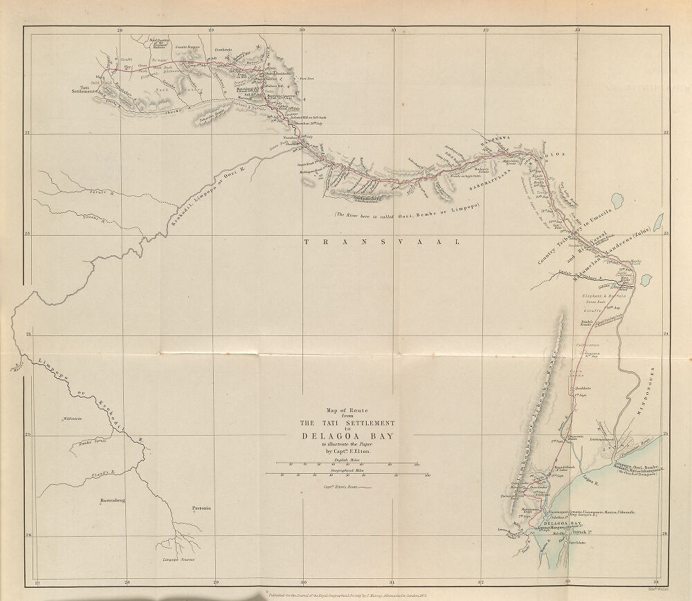
| Map of Route from the Tati Settlement to Delagoa Bay to illustrate the Paper by Captn. F. Elton
( |
|||||||||||||||||||||
|---|---|---|---|---|---|---|---|---|---|---|---|---|---|---|---|---|---|---|---|---|---|
| Creator | Royal Geographical Society (Great Britain) | ||||||||||||||||||||
| Title |
Map of Route from the Tati Settlement to Delagoa Bay to illustrate the Paper by Captn. F. Elton |
||||||||||||||||||||
| Description |
1:2,100,000 |
||||||||||||||||||||
| Date | 1872 | ||||||||||||||||||||
| Collection |
|
||||||||||||||||||||
| Source/Photographer |
|
||||||||||||||||||||
| Permission (Reusing this file) |
|
||||||||||||||||||||
| Standardized rights statement |
|
||||||||||||||||||||


File history
Click on a date/time to view the file as it appeared at that time.
| Date/Time | Thumbnail | Dimensions | User | Comment | |
|---|---|---|---|---|---|
| current | 09:19, 4 November 2022 | | 1,000 × 869 (124 KB) | DPLA bot (talk | contribs) | Uploading DPLA ID dfdda3f85e6f67fa70d23093bb016a4b |
You cannot overwrite this file.
File usage on Commons
The following page uses this file: