File:Map of Russia - Southern Federal District (with Crimea).svg

Size of this PNG preview of this SVG file: 800 × 462 pixels. Other resolutions: 320 × 185 pixels | 640 × 369 pixels | 1,024 × 591 pixels | 1,280 × 738 pixels | 2,560 × 1,477 pixels | 1,092 × 630 pixels.
Original file (SVG file, nominally 1,092 × 630 pixels, file size: 95 KB)
Captions
Captions
Add a one-line explanation of what this file represents

|
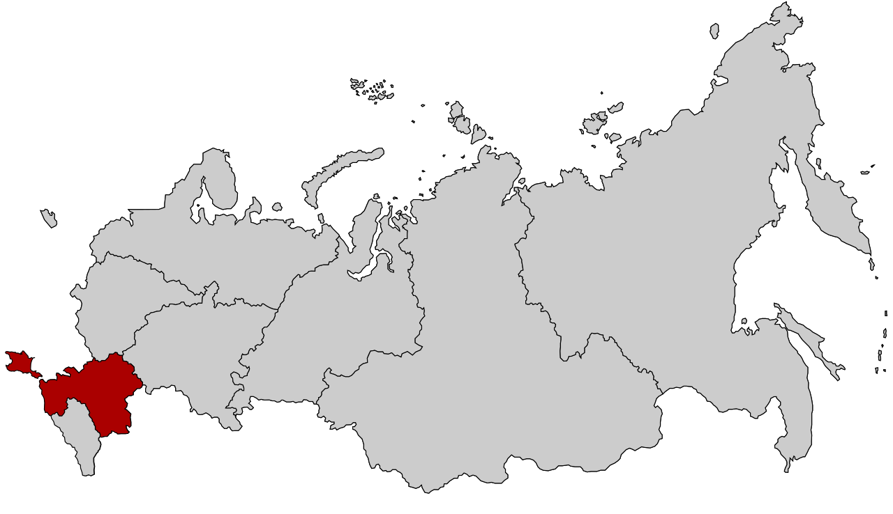
The boundaries on this map show the de facto situation. This is just one of several different views on the subject (see COM:NPOV). |
Summary edit
| Description |
Русский: Южный федеральный округ с 28 июля 2016 года (с Крымом) |
| Date | |
| Source | Based on Map of Russia - Southern Federal District.svg by Knyaz-1988, which is in turn based on Map of Russian subjects, 2008-03-01.svg by Lokal_Profil |
| Author |
Knyaz-1988 and Lokal_Profil (original) Seryo93 (derivative) |
| Other versions |
|
.svg)

.svg)
.svg)
.svg&action=edit§ion=1)
Licensing edit
.svg&action=edit§ion=2)
This file is licensed under the Creative Commons Attribution-Share Alike 2.5 Generic license.
- You are free:
- to share – to copy, distribute and transmit the work
- to remix – to adapt the work
- Under the following conditions:
- attribution – You must give appropriate credit, provide a link to the license, and indicate if changes were made. You may do so in any reasonable manner, but not in any way that suggests the licensor endorses you or your use.
- share alike – If you remix, transform, or build upon the material, you must distribute your contributions under the same or compatible license as the original.
File history
Click on a date/time to view the file as it appeared at that time.
| Date/Time | Thumbnail | Dimensions | User | Comment | |
|---|---|---|---|---|---|
| current | 15:56, 28 July 2016 | | 1,092 × 630 (95 KB) | Seryo93 (talk | contribs) | User created page with UploadWizard |
You cannot overwrite this file.
File usage on Commons
The following 5 pages use this file:
- File:Map of Russia - Southern Federal District.svg
- File:Map of Russia - Southern Federal District (2000-2010).svg
- File:Map of Russia - Southern Federal District (2014-2016, with Crimea).svg
- File:Map of Russia - Southern Federal District (2018 composition).svg
- File:Map of Russia - Southern Federal District (with Crimea claimed).svg
.svg)
File usage on other wikis
The following other wikis use this file:
- Usage on be.wikipedia.org
- Usage on es.wikipedia.org
- Usage on it.wikipedia.org
- Usage on ja.wikipedia.org
- Usage on ko.wikipedia.org
- Usage on lez.wikipedia.org
- Usage on mhr.wikipedia.org
- Usage on nl.wikipedia.org
- Usage on pl.wikipedia.org
- Usage on pl.wikivoyage.org
- Usage on sh.wikipedia.org
- Usage on zh-yue.wikipedia.org
- Usage on zh.wikipedia.org
.svg&oldid=725761292)