File:Map of Shusha.jpg

Original file (2,718 × 2,373 pixels, file size: 2.02 MB, MIME type: image/jpeg)
Captions
Captions
Summary
edit
| Description |
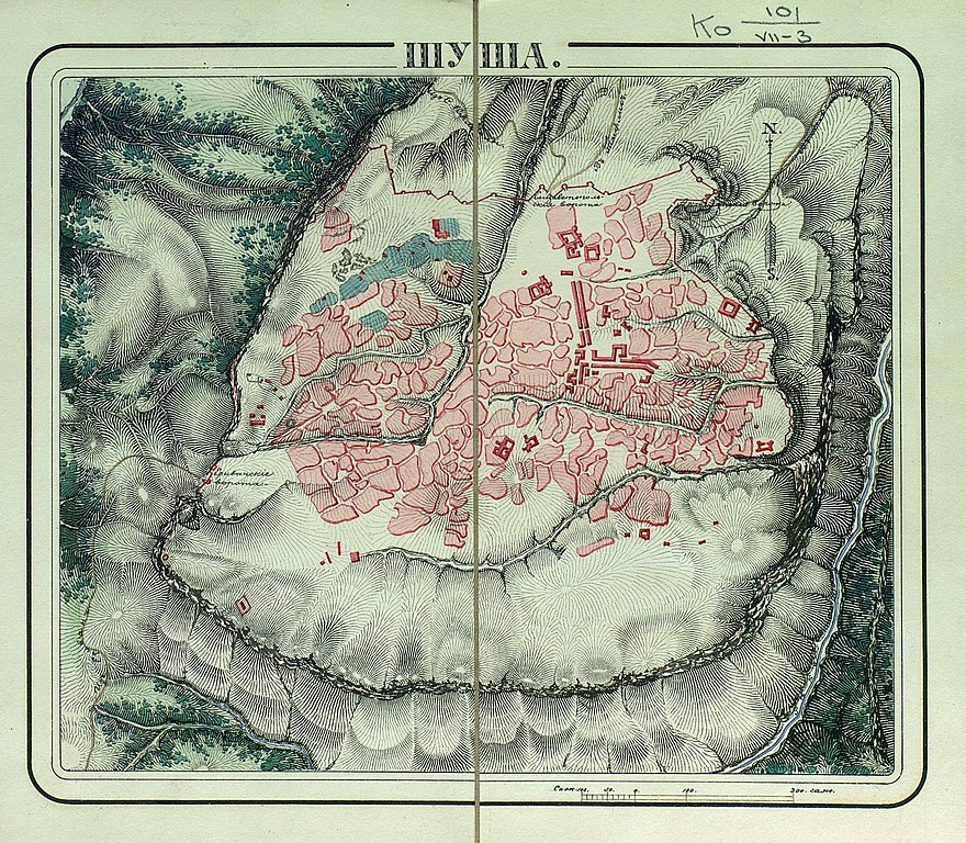
English: Map of Shusha in 1830 |
| Date | |
| Source | Атлас крепостей Российской империи. 1830 г. 131 с. Стр. 47. |
| Author | Unknown author |
Licensing
edit
|
This work is in the public domain in its country of origin and other countries and areas where the copyright term is the author's life plus 70 years or fewer.
| |
| This file has been identified as being free of known restrictions under copyright law, including all related and neighboring rights. | |
File history
Click on a date/time to view the file as it appeared at that time.
| Date/Time | Thumbnail | Dimensions | User | Comment | |
|---|---|---|---|---|---|
| current | 19:05, 18 May 2021 | | 2,718 × 2,373 (2.02 MB) | Interfase (talk | contribs) | better quality |
| 10:19, 17 May 2021 |  | 900 × 785 (437 KB) | Interfase (talk | contribs) | Uploaded a work by unknown from Военная энциклопедия: Том I. А – Алжирия. 1911. Стр. 86. with UploadWizard |
You cannot overwrite this file.
File usage on Commons
There are no pages that use this file.