File:Map of Stezyca Land, 1792.jpg

Size of this preview: 800 × 538 pixels. Other resolutions: 320 × 215 pixels | 640 × 431 pixels | 1,024 × 689 pixels | 1,280 × 861 pixels | 2,560 × 1,723 pixels | 7,354 × 4,949 pixels.
Original file (7,354 × 4,949 pixels, file size: 12.2 MB, MIME type: image/jpeg)
Captions
Captions
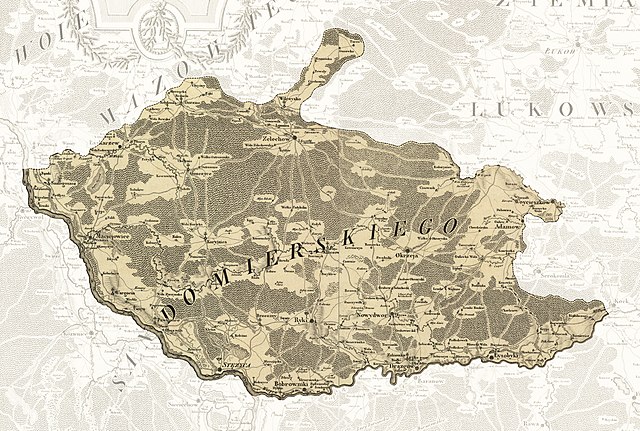
A map of Stezyca land in 1792, a former administrative area in Poland.
Summary edit
| Description |
English: A map of Stezyca land in 1792, a former administrative area in Poland. |
| Date | |
| Source |
This file was derived from: Mappa szczegulna woiewodztwa lubelskiego.jpg |
| Author | Lindeby |
Licensing edit
I, the copyright holder of this work, hereby publish it under the following license:
This file is licensed under the Creative Commons Attribution-Share Alike 4.0 International license.
- You are free:
- to share – to copy, distribute and transmit the work
- to remix – to adapt the work
- Under the following conditions:
- attribution – You must give appropriate credit, provide a link to the license, and indicate if changes were made. You may do so in any reasonable manner, but not in any way that suggests the licensor endorses you or your use.
- share alike – If you remix, transform, or build upon the material, you must distribute your contributions under the same or compatible license as the original.
File history
Click on a date/time to view the file as it appeared at that time.
| Date/Time | Thumbnail | Dimensions | User | Comment | |
|---|---|---|---|---|---|
| current | 18:03, 13 March 2022 | | 7,354 × 4,949 (12.2 MB) | Lindeby (talk | contribs) | Uploaded own work with UploadWizard |
You cannot overwrite this file.
File usage on Commons
There are no pages that use this file.
File usage on other wikis
The following other wikis use this file:
- Usage on en.wikipedia.org