File:Map of Tachov district, Czech republic.png

Size of this preview: 789 × 600 pixels. Other resolutions: 316 × 240 pixels | 632 × 480 pixels | 887 × 674 pixels.
Original file (887 × 674 pixels, file size: 50 KB, MIME type: image/png)
Captions
Captions
Add a one-line explanation of what this file represents
Summary edit
| Description |
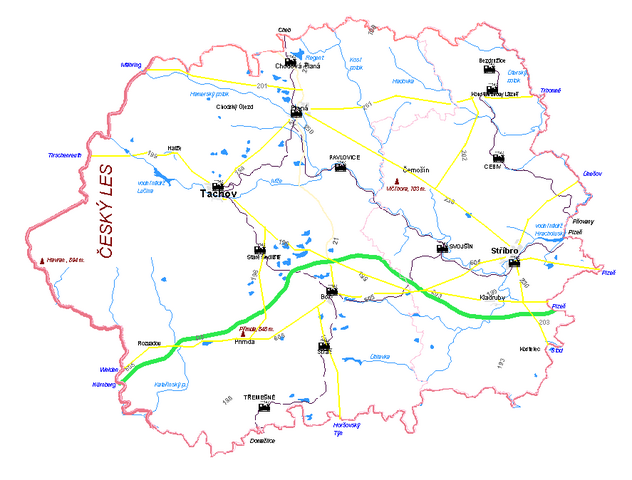
English: Map of Tachov district, Czech republic
Čeština: Mapa tachovského okresu |
| Date | |
| Source | Own work |
| Author | Ondřej Koníček |
Licensing edit
| I, the copyright holder of this work, release this work into the public domain. This applies worldwide. In some countries this may not be legally possible; if so: I grant anyone the right to use this work for any purpose, without any conditions, unless such conditions are required by law. |
File history
Click on a date/time to view the file as it appeared at that time.
| Date/Time | Thumbnail | Dimensions | User | Comment | |
|---|---|---|---|---|---|
| current | 09:51, 6 September 2008 | | 887 × 674 (50 KB) | Ondrej.konicek (talk | contribs) | {{Information |Description={{en|1=Map of Tachov district, Czech republic}} {{cs|1=Mapa tachovského okresu}} |Source=own work |Author=Ondřej Koníček |Date=Sept 6,08 |Permission= |other_versions= }} <!--{{ImageUpload|full}}--> [[Category:Maps of the Cz |
You cannot overwrite this file.
File usage on Commons
The following page uses this file:
- File:Tc.PNG (file redirect)
File usage on other wikis
The following other wikis use this file:
- Usage on cs.wikipedia.org
- Usage on sk.wikipedia.org