File:Map of Tishomingo County, Mississippi - DPLA - 5bf231d4fa8093ea176171548b793e07.jpg

Size of this preview: 616 × 599 pixels. Other resolutions: 247 × 240 pixels | 493 × 480 pixels | 790 × 768 pixels | 1,053 × 1,024 pixels | 2,106 × 2,048 pixels | 7,580 × 7,373 pixels.
Original file (7,580 × 7,373 pixels, file size: 2.68 MB, MIME type: image/jpeg)
Captions
Captions
Add a one-line explanation of what this file represents
Summary
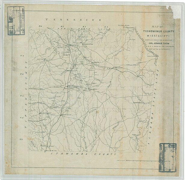
edit| Map of Tishomingo County, Mississippi
( |
||||||||||||||
|---|---|---|---|---|---|---|---|---|---|---|---|---|---|---|
| Creator | War Department. Office of the Chief of Engineers. 1818-9/18/1947 | |||||||||||||
| Title |
Map of Tishomingo County, Mississippi |
|||||||||||||
| Date | 1818-01-01/1947-12-31 | |||||||||||||
| Collection |
|
|||||||||||||
| Source/Photographer |
|
|||||||||||||
| Permission (Reusing this file) |
|
|||||||||||||
| Standardized rights statement |
|
|||||||||||||


File history
Click on a date/time to view the file as it appeared at that time.
| Date/Time | Thumbnail | Dimensions | User | Comment | |
|---|---|---|---|---|---|
| current | 18:34, 8 July 2023 | | 7,580 × 7,373 (2.68 MB) | DPLA bot (talk | contribs) | Uploading DPLA ID dpla:5bf231d4fa8093ea176171548b793e07 |
You cannot overwrite this file.
File usage on Commons
The following page uses this file: