File:Map of Turkey in Europe. Illustrating The Berlin Congress Treaty, July 1878.jpg

Size of this preview: 422 × 599 pixels. Other resolutions: 169 × 240 pixels | 338 × 480 pixels | 541 × 768 pixels | 721 × 1,024 pixels | 1,442 × 2,048 pixels | 9,118 × 12,952 pixels.
Original file (9,118 × 12,952 pixels, file size: 30.36 MB, MIME type: image/jpeg)
Captions
Captions
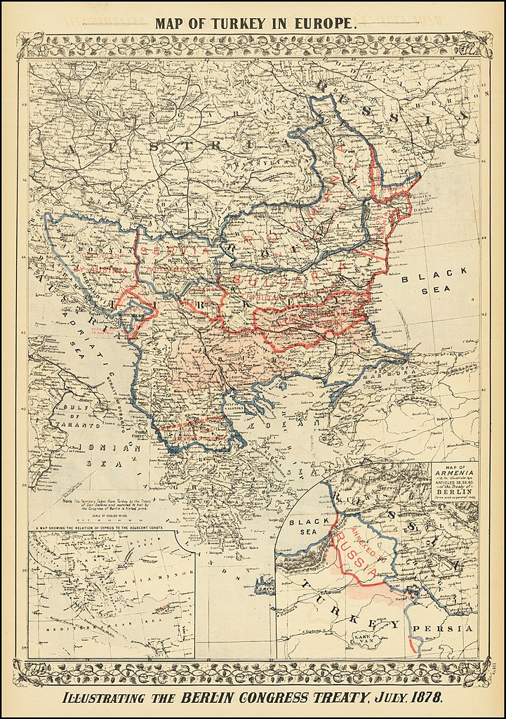
Map of Turkey in Europe. Illustrating The Berlin Congress Treaty, July 1878
Summary
edit
| Warning | The original file is very high-resolution. It might not load properly or could cause your browser to freeze when opened at full size. |
|---|
| Description |
English: Map of Turkey in Europe. Illustrating The Berlin Congress Treaty, July 1878 |
| Date | |
| Source | https://www.raremaps.com/gallery/detail/73639/map-of-turkey-in-europe-illustrating-the-berlin-congress-t-mitchell-jr |
| Author | Samuel Augustus Mitchell Jr. |
Licensing
edit
|
This work is in the public domain in its country of origin and other countries and areas where the copyright term is the author's life plus 70 years or fewer. This work is in the public domain in the United States because it was published (or registered with the U.S. Copyright Office) before January 1, 1929. | |
| This file has been identified as being free of known restrictions under copyright law, including all related and neighboring rights. | |
File history
Click on a date/time to view the file as it appeared at that time.
| Date/Time | Thumbnail | Dimensions | User | Comment | |
|---|---|---|---|---|---|
| current | 16:40, 6 June 2021 | | 9,118 × 12,952 (30.36 MB) | Balkanique (talk | contribs) | Uploaded a work by Samuel Augustus Mitchell Jr. from https://www.raremaps.com/gallery/detail/73639/map-of-turkey-in-europe-illustrating-the-berlin-congress-t-mitchell-jr with UploadWizard |
You cannot overwrite this file.
File usage on Commons
There are no pages that use this file.