File:Map of USA HI full.svg

Size of this PNG preview of this SVG file: 159 × 112 pixels. Other resolutions: 320 × 225 pixels | 640 × 451 pixels | 1,024 × 721 pixels | 1,280 × 902 pixels | 2,560 × 1,803 pixels.
Original file (SVG file, nominally 159 × 112 pixels, file size: 379 KB)
Captions
Captions
Add a one-line explanation of what this file represents
Summary edit
| Description |
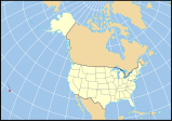
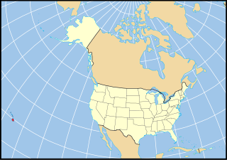
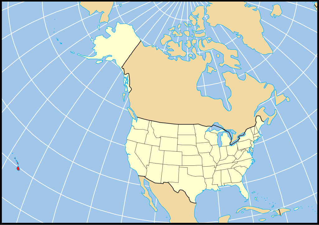
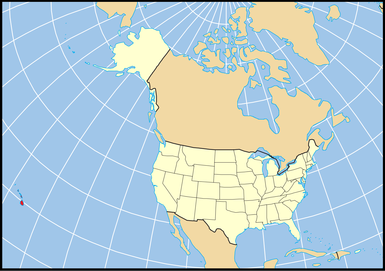
English: Map of the US state of Hawaii relative to the rest of the country using a constant projection. A vector reproduction of Map of USA AK full.png based on the public domain location map from [1].
Español: Mapa del estado estadounidense de Hawái relativo al resto del país usando una proyección constante. Una reproducción vectorial basada en el mapa de dominio público de National Atlas. |
| Date | |
| Source | Own work |
| Author | Vrysxy |
Licensing edit
I, the copyright holder of this work, hereby publish it under the following licenses:

|
Permission is granted to copy, distribute and/or modify this document under the terms of the GNU Free Documentation License, Version 1.2 or any later version published by the Free Software Foundation; with no Invariant Sections, no Front-Cover Texts, and no Back-Cover Texts. A copy of the license is included in the section entitled GNU Free Documentation License. |
This file is licensed under the Creative Commons Attribution-Share Alike Attribution-Share Alike 4.0 International, 3.0 Unported, 2.5 Generic, 2.0 Generic and 1.0 Generic license.
- You are free:
- to share – to copy, distribute and transmit the work
- to remix – to adapt the work
- Under the following conditions:
- attribution – You must give appropriate credit, provide a link to the license, and indicate if changes were made. You may do so in any reasonable manner, but not in any way that suggests the licensor endorses you or your use.
- share alike – If you remix, transform, or build upon the material, you must distribute your contributions under the same or compatible license as the original.
You may select the license of your choice.
File history
Click on a date/time to view the file as it appeared at that time.
| Date/Time | Thumbnail | Dimensions | User | Comment | |
|---|---|---|---|---|---|
| current | 22:56, 2 January 2011 | | 159 × 112 (379 KB) | Vrysxy (talk | contribs) | {{Information |Description={{en|1=Map of the US state of Hawaii relative to the rest of the country using a constant projection. A vector reproduction of Map of USA AK full.png based on the public domain location map from |
You cannot overwrite this file.
File usage on Commons
The following 2 pages use this file:
File usage on other wikis
The following other wikis use this file:
- Usage on af.wikipedia.org
- Usage on es.wikipedia.org
- Honolulu
- Puakō
- Kailua (condado de Hawái)
- Condado de Hawái
- Honaunau-Napoopoo
- Ainaloa
- Wailuku
- Lihue
- Jardín etnobotánico Amy B. H. Greenwell
- Condado de Honolulu
- Barbers Point Housing
- Captain Cook
- Eden Roc
- Eleele
- Ewa Beach
- Ewa Gentry
- Ewa Villages
- Fern Acres
- Fern Forest
- Haiku-Pauwela
- Halaula
- Halawa
- Haleiwa
- Haliimaile
- Hana (Hawái)
- Hanalei
- Hanamaulu
- Hanapepe
- Hauula
- Hawaiian Acres
- Hawaiian Beaches
- Hawaiian Ocean View
- Hawaiian Paradise Park
- Hawi
- Heeia
- Holualoa
- Honalo
- Honokaa
- Honomu
- Iroquois Point
- Kaaawa
- Kaanapali
- Kahaluu
- Kahaluu-Keauhou
- Kahuku
- Kailua (condado de Honolulu)
- Kalaheo
- Kalaoa
- Kalihiwai
View more global usage of this file.