File:Map of Veles.png

Size of this preview: 686 × 599 pixels. Other resolutions: 275 × 240 pixels | 549 × 480 pixels | 879 × 768 pixels | 1,172 × 1,024 pixels | 1,546 × 1,351 pixels.
Original file (1,546 × 1,351 pixels, file size: 659 KB, MIME type: image/png)
Captions
Captions
Add a one-line explanation of what this file represents
Summary
edit
| Description |
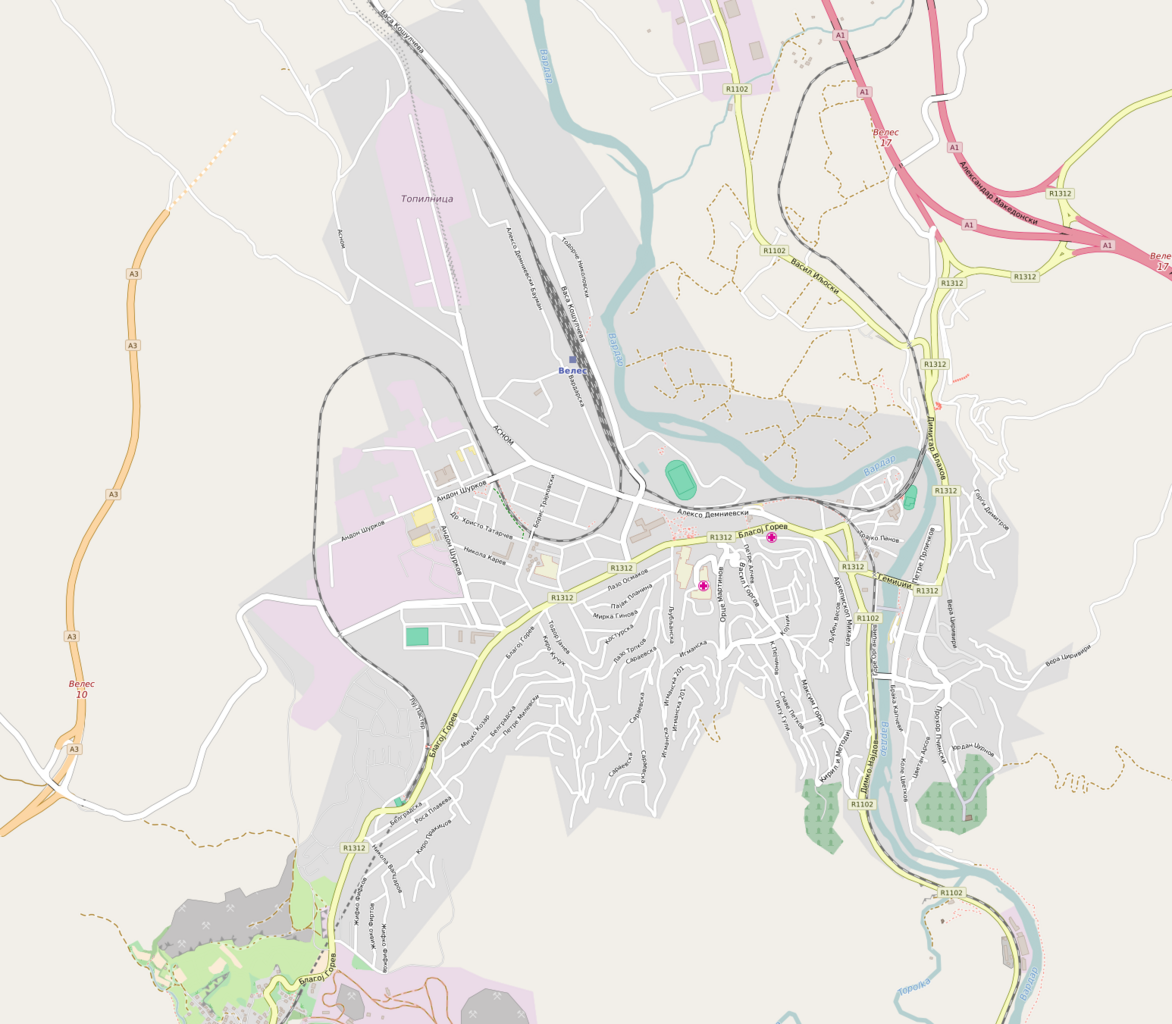
English: OpenStreetMap - Map of Veles
Български: Позиционна карта на Велес |
|||||||||
| Date | ||||||||||
| Source | openstreetmap.org | |||||||||
| Creator |
OpenStreetMap contributors |
|||||||||
| Permission (Reusing this file) |
OpenStreetMap data is available under the Open Database License (details). Map tiles are licensed under the Creative Commons Attribution-ShareAlike 2.0 license (CC-BY-SA 2.0).
This file is licensed under the Creative Commons Attribution-Share Alike 2.0 Generic license.
|
|||||||||
| Geotemporal data | ||||||||||
| Bounding box |
|
|||||||||
| Georeferencing | If inappropriate please set warp_status = skip to hide. | |||||||||
File history
Click on a date/time to view the file as it appeared at that time.
| Date/Time | Thumbnail | Dimensions | User | Comment | |
|---|---|---|---|---|---|
| current | 12:36, 26 September 2016 | | 1,546 × 1,351 (659 KB) | Rumensz (talk | contribs) | {{Information |Description ={{en|1=OpenStreetMap - Map of Veles}} {{bg|1=Позиционна карта на Велес}} |Source =http://www.openstreetmap.org/ |Author =OpenStreetMap |Date =26.09.2016 |Permission = |... |
You cannot overwrite this file.
File usage on Commons
The following page uses this file:
File usage on other wikis
The following other wikis use this file:
- Usage on bg.wikipedia.org
- Usage on mk.wikipedia.org
- Usage on www.wikidata.org