File:Map of Vieques highlighting Florida.png
No higher resolution available.
Map_of_Vieques_highlighting_Florida.png (759 × 354 pixels, file size: 6 KB, MIME type: image/png)
Captions
Captions
Add a one-line explanation of what this file represents
| Description |
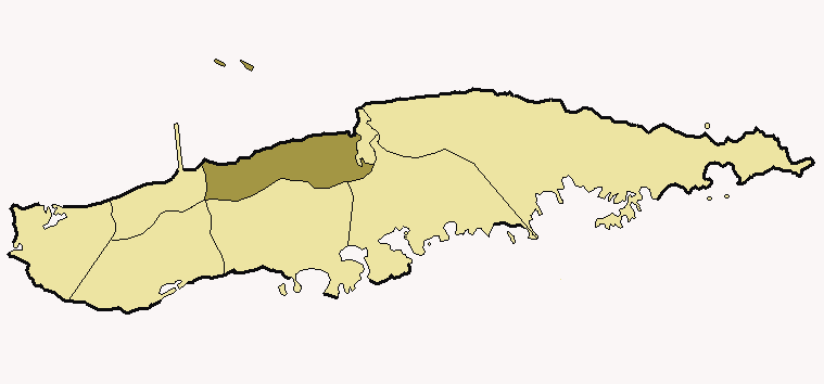
English: Map of Vieques (Puerto Rico) highlighting Florida ward
Italiano: Mappa di Vieques (Porto Rico) che evidenzia la circoscrizione di Florida.
. |
||
| Date | |||
| Source | Own work | ||
| Author | Alessandro Cai (OliverZena) | ||
| Permission (Reusing this file) |
|
File history
Click on a date/time to view the file as it appeared at that time.
| Date/Time | Thumbnail | Dimensions | User | Comment | |
|---|---|---|---|---|---|
| current | 08:20, 17 February 2007 | | 759 × 354 (6 KB) | OliverZena (talk | contribs) | {{Information| |Description={{EN}} Map of '''Vieques''' (Puerto Rico) highlighting '''Florida''' ward {{IT}} Mappa di '''Vieques''' (Porto Rico) che evidenzia la circoscrizione di '''Florida'''. |Source=own work |Date=February 5th, 200 |
| 12:42, 13 February 2007 |  | 759 × 354 (6 KB) | OliverZena (talk | contribs) | {{Information| |Description={{EN}} Map of '''Vieques''' (Puerto Rico) highlighting '''Florida''' ward {{IT}} Mappa di '''Vieques''' (Porto Rico) che evidenzia la circoscrizione di '''Florida'''. |Source=own work |Date=February 5th, 200 |
You cannot overwrite this file.
File usage on Commons
There are no pages that use this file.
File usage on other wikis
The following other wikis use this file:
- Usage on es.wikipedia.org
- Usage on it.wikipedia.org
- Usage on www.wikidata.org