File:Map of Warren South, Warren County, Pennsylvania Highlighted.png

Size of this preview: 757 × 600 pixels. Other resolutions: 303 × 240 pixels | 606 × 480 pixels | 970 × 768 pixels | 1,280 × 1,014 pixels | 1,587 × 1,257 pixels.
Original file (1,587 × 1,257 pixels, file size: 96 KB, MIME type: image/png)
Captions
Captions
Add a one-line explanation of what this file represents
Summary edit
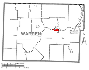
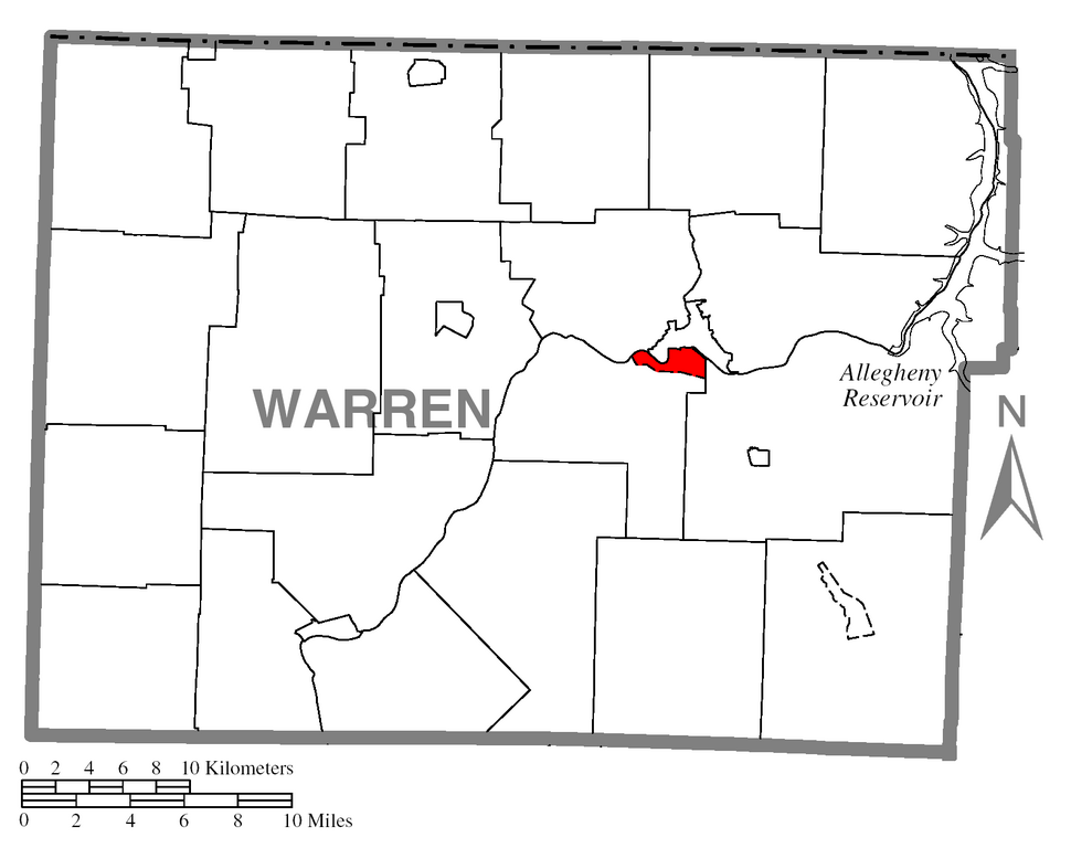
| Description | Map of Warren County higlighting Warren South. |
| Date | |
| Source | Source image taken from the United States Census Bureau's website pa_cosub.pdf. |
| Author | User:Dtbohrer |
| Other versions | Image:Map of Warren County, Pennsylvania No Text.png - Version without text |
Licensing edit
| I, the copyright holder of this work, release this work into the public domain. This applies worldwide. In some countries this may not be legally possible; if so: I grant anyone the right to use this work for any purpose, without any conditions, unless such conditions are required by law. |
File history
Click on a date/time to view the file as it appeared at that time.
| Date/Time | Thumbnail | Dimensions | User | Comment | |
|---|---|---|---|---|---|
| current | 20:14, 16 April 2008 | | 1,587 × 1,257 (96 KB) | Niagara (talk | contribs) | {{Information |Description=Map of Warren County higlighting Warren South. |Source=Source image taken from the United States Census Bureau's website [http://www2.census.gov/geo/maps/genera |
You cannot overwrite this file.
File usage on Commons
There are no pages that use this file.
File usage on other wikis
The following other wikis use this file:
- Usage on ceb.wikipedia.org
- Usage on en.wikipedia.org
- Usage on es.wikipedia.org
- Usage on fa.wikipedia.org
- Usage on sh.wikipedia.org
- Usage on sr.wikipedia.org
- Usage on www.wikidata.org
- Usage on zh-min-nan.wikipedia.org