File:Map of municipalities of Marche - Italy.svg

Size of this PNG preview of this SVG file: 619 × 600 pixels. Other resolutions: 248 × 240 pixels | 495 × 480 pixels | 793 × 768 pixels | 1,057 × 1,024 pixels | 2,114 × 2,048 pixels | 1,000 × 969 pixels.
Original file (SVG file, nominally 1,000 × 969 pixels, file size: 4.13 MB)
Captions
Captions
Add a one-line explanation of what this file represents
Summary edit
| Description |
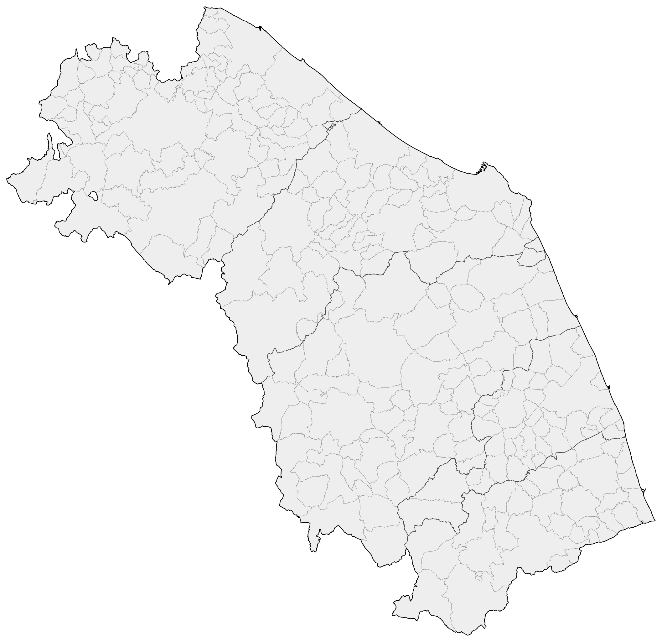
Italiano: Carta della regione Marche con confini di comuni (grigio chiaro), province (in grigio scuro) e regione (in nero). I dati cartografici per i confini amministrativi italiani sono stati pubblicati dall'ISTAT. I dati sono aggiornati al 31/12/2016.
All'inizio del file, la sezione di stile <style type="text/css">
g.comuni { fill:#eee; stroke-width:0.4; stroke-linecap:square; stroke-linejoin:bevel; stroke-miterlimit:3; stroke-opacity:1; stroke:#888; fill-opacity:1; }
g.province { fill:none; stroke-width:0.7; stroke-linecap:square; stroke-linejoin:bevel; stroke-miterlimit:3; stroke-opacity:1; stroke:#444; fill-opacity:1; }
g.regioni { fill:none; stroke-width:1; stroke-linecap:square; stroke-linejoin:bevel; stroke-miterlimit:3; stroke-opacity:1; stroke:#000; fill-opacity:1; }
</style>
può essere modificata in modo da evidenziare con diversi colori le aree desiderate <style type="text/css">
g.comuni { fill:#eee; stroke-width:none; stroke-linecap:square; stroke-linejoin:bevel; stroke-miterlimit:3; stroke-opacity:1; stroke:none; fill-opacity:1; }
g.province { fill:none; stroke-width:0.7; stroke-linecap:square; stroke-linejoin:bevel; stroke-miterlimit:3; stroke-opacity:1; stroke:#444; fill-opacity:1; }
g.regioni { fill:none; stroke-width:1; stroke-linecap:square; stroke-linejoin:bevel; stroke-miterlimit:3; stroke-opacity:1; stroke:#000; fill-opacity:1; }
#Ancona { fill: #0080ff; } /* comune in blu */
#p_MC { fill: #0080ff; fill-opacity:0.5; } /* provincia di Macerata in blu semitrasparente */
</style>
senza dover utilizzare alcun software grafico. |
| Date | |
| Source |
|
| Author | M.casanova |
Licensing edit
I, the copyright holder of this work, hereby publish it under the following license:
This file is licensed under the Creative Commons Attribution-Share Alike 4.0 International license.
- You are free:
- to share – to copy, distribute and transmit the work
- to remix – to adapt the work
- Under the following conditions:
- attribution – You must give appropriate credit, provide a link to the license, and indicate if changes were made. You may do so in any reasonable manner, but not in any way that suggests the licensor endorses you or your use.
- share alike – If you remix, transform, or build upon the material, you must distribute your contributions under the same or compatible license as the original.
File history
Click on a date/time to view the file as it appeared at that time.
| Date/Time | Thumbnail | Dimensions | User | Comment | |
|---|---|---|---|---|---|
| current | 19:31, 6 April 2017 | | 1,000 × 969 (4.13 MB) | M.casanova (talk | contribs) | correction - data @ 31 dec 2016 |
| 06:46, 18 February 2017 |  | 1,000 × 969 (4.13 MB) | M.casanova (talk | contribs) | User created page with UploadWizard |
You cannot overwrite this file.
File usage on Commons
The following 2 pages use this file: