File:Map of region of Calabria, Italy.svg

Size of this PNG preview of this SVG file: 288 × 522 pixels. Other resolutions: 132 × 240 pixels | 265 × 480 pixels | 423 × 768 pixels | 565 × 1,024 pixels | 1,130 × 2,048 pixels.
Original file (SVG file, nominally 288 × 522 pixels, file size: 91 KB)
Captions
Captions
Add a one-line explanation of what this file represents
Summary
edit
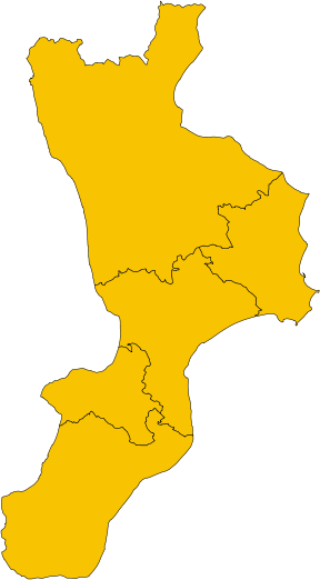
| Description | |
| Date | |
| Source | Own work |
| Author | Vonvikken |
| Other versions |
    |
This W3C-unspecified vector image was created with Inkscape .
W3C-validity not checked.
Licensing
edit
| I, the copyright holder of this work, release this work into the public domain. This applies worldwide. In some countries this may not be legally possible; if so: I grant anyone the right to use this work for any purpose, without any conditions, unless such conditions are required by law. |
File history
Click on a date/time to view the file as it appeared at that time.
| Date/Time | Thumbnail | Dimensions | User | Comment | |
|---|---|---|---|---|---|
| current | 13:45, 22 July 2010 | | 288 × 522 (91 KB) | Vonvikken (talk | contribs) | Added province boundaries. |
| 19:42, 8 June 2010 |  | 288 × 522 (45 KB) | Vonvikken (talk | contribs) | == {{int:filedesc}} == {{Information |Description={{de|1=Karte von Region Kalabrien, Italien}} {{en|1=Map of the region of Calabria, Italy}} {{it|1=Mappa della regione Calabria, Italia}} |Source={{own}} |Author=Vonvikken |Date=2010-06-0 |
You cannot overwrite this file.
File usage on Commons
The following 7 pages use this file:
- User:Vonvikken/Mappe/Calabria
- File:Flag map of Calabria.svg
- File:Map of region of Calabria, Italy, with provinces-el.svg
- File:Map of region of Calabria, Italy, with provinces-fr.svg
- File:Map of region of Calabria, Italy, with provinces-it.svg
- File:Map of region of Calabria, Italy, with provinces-ka.svg
- File:Map of region of Calabria, Italy, with provinces-ru.svg