File:Map of the Battle of Los Angeles.svg

Size of this PNG preview of this SVG file: 400 × 300 pixels. Other resolutions: 320 × 240 pixels | 640 × 480 pixels | 1,024 × 768 pixels | 1,280 × 960 pixels | 2,560 × 1,920 pixels.
Original file (SVG file, nominally 400 × 300 pixels, file size: 225 KB)
Captions
Captions
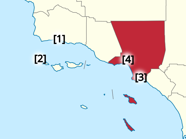
A map related to the Battle of Los Angeles in 1942.
Summary
edit
| Description |
English: Red: Los Angeles Country |
| Date | |
| Source | File:Map_of_California_highlighting_Los_Angeles_County.svg |
| Author | User:Dbenbenn, User:Onhigan |
Licensing
edit
| This work has been released into the public domain by its author, Dbenbenn. This applies worldwide. In some countries this may not be legally possible; if so: |
File history
Click on a date/time to view the file as it appeared at that time.
| Date/Time | Thumbnail | Dimensions | User | Comment | |
|---|---|---|---|---|---|
| current | 16:05, 23 October 2021 | | 400 × 300 (225 KB) | Onhigan (talk | contribs) | again |
| 03:27, 23 October 2021 |  | 500 × 400 (225 KB) | Onhigan (talk | contribs) | zoom in | |
| 01:55, 23 October 2021 |  | 640 × 480 (224 KB) | Onhigan (talk | contribs) | Uploaded a work by User:Dbenbenn, User:onhigan from https://commons.wikimedia.org/wiki/File:Map_of_California_highlighting_Los_Angeles_County.svg with UploadWizard |
You cannot overwrite this file.
File usage on Commons
There are no pages that use this file.
File usage on other wikis
The following other wikis use this file:
- Usage on ja.wikipedia.org