File:Map of the Carolinas by Herman Moll 1736.jpeg

Size of this preview: 800 × 556 pixels. Other resolutions: 320 × 222 pixels | 640 × 445 pixels | 1,024 × 712 pixels | 1,280 × 890 pixels | 1,614 × 1,122 pixels.
Original file (1,614 × 1,122 pixels, file size: 425 KB, MIME type: image/jpeg)
Captions
Captions
Add a one-line explanation of what this file represents
Summary
edit| Description |
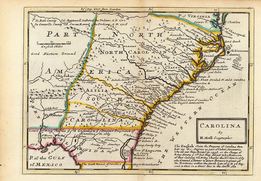
English: Map from 1736, published in London, of the Carolinas, from southern Virginia to northern Florida. The ocean off the Carolinas is labeled as "The Western Ocean," indicating the perspective of its English author. |
|||||||||||||||||||||||
| Date | ||||||||||||||||||||||||
| Source | http://www.learnnc.org/lp/multimedia/5702 | |||||||||||||||||||||||
| Author |
|
|||||||||||||||||||||||
| Permission (Reusing this file) |
|
|||||||||||||||||||||||

File history
Click on a date/time to view the file as it appeared at that time.
| Date/Time | Thumbnail | Dimensions | User | Comment | |
|---|---|---|---|---|---|
| current | 04:44, 15 June 2010 | | 1,614 × 1,122 (425 KB) | MarmadukePercy (talk | contribs) | {{Information |Description={{en|1=Map from 1736, published in London, of the Carolinas, from southern Virginia to northern Florida. The ocean off the Carolinas is labeled as "The Western Ocean," indicating the perspective of its English author. }} |Source |
You cannot overwrite this file.
File usage on Commons
The following page uses this file: