File:Map of the full sun.jpg
Size of this preview: 800 × 400 pixels. Other resolutions: 320 × 160 pixels | 640 × 320 pixels | 1,024 × 512 pixels | 1,280 × 640 pixels | 3,000 × 1,500 pixels.
Original file (3,000 × 1,500 pixels, file size: 1.07 MB, MIME type: image/jpeg)
Captions
Captions
Add a one-line explanation of what this file represents
Summary edit
| Description |
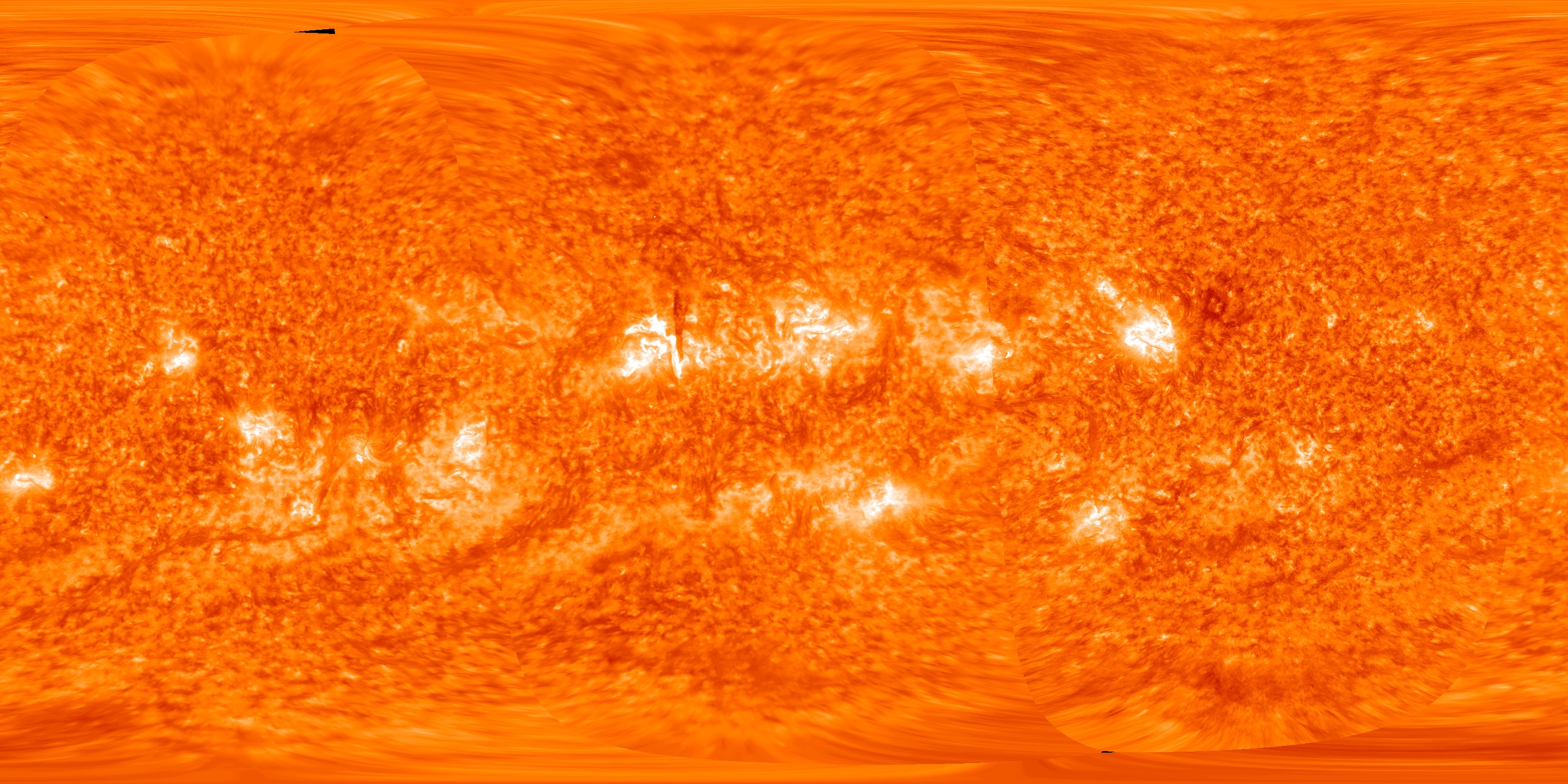
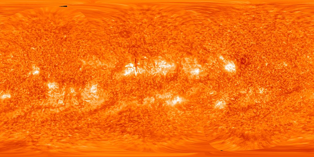
English: This map of the full sun on 14 October 2012 was created by spacecraft images from, in order from left to right, STEREO-A, STEREO-B and the Solar Dynamics Observatory The dark vertical line near the centre of the picture is an overhead view of a solar prominence (see File:STEREO view of solar prominence on 2012-10-14.jpg for explanation). |
| Date | |
| Source | STEREO Reaches New Milestone At Its Sixth Anniversary |
| Author | NASA/STEREO/SDO/GSFC |
Licensing edit
| This file is in the public domain in the United States because it was solely created by NASA. NASA copyright policy states that "NASA material is not protected by copyright unless noted". (See Template:PD-USGov, NASA copyright policy page or JPL Image Use Policy.) | ||
 |
Warnings:
|
File history
Click on a date/time to view the file as it appeared at that time.
| Date/Time | Thumbnail | Dimensions | User | Comment | |
|---|---|---|---|---|---|
| current | 01:45, 16 March 2013 | | 3,000 × 1,500 (1.07 MB) | Spideog (talk | contribs) | User created page with UploadWizard |
You cannot overwrite this file.
File usage on Commons
The following page uses this file:
File usage on other wikis
The following other wikis use this file:
- Usage on ar.wikipedia.org
- Usage on ca.wikipedia.org
- Usage on co.wikipedia.org
- Usage on ka.wikipedia.org
- Usage on pl.wikipedia.org
- Usage on ro.wikipedia.org
- Usage on simple.wikipedia.org
- Usage on sq.wikipedia.org