File:Mapa-Zona Leste de Natal.png
Size of this preview: 446 × 599 pixels. Other resolutions: 179 × 240 pixels | 357 × 480 pixels | 572 × 768 pixels | 762 × 1,024 pixels | 1,703 × 2,288 pixels.
Original file (1,703 × 2,288 pixels, file size: 227 KB, MIME type: image/png)
Captions
Captions
Add a one-line explanation of what this file represents
Summary
edit
| Description |
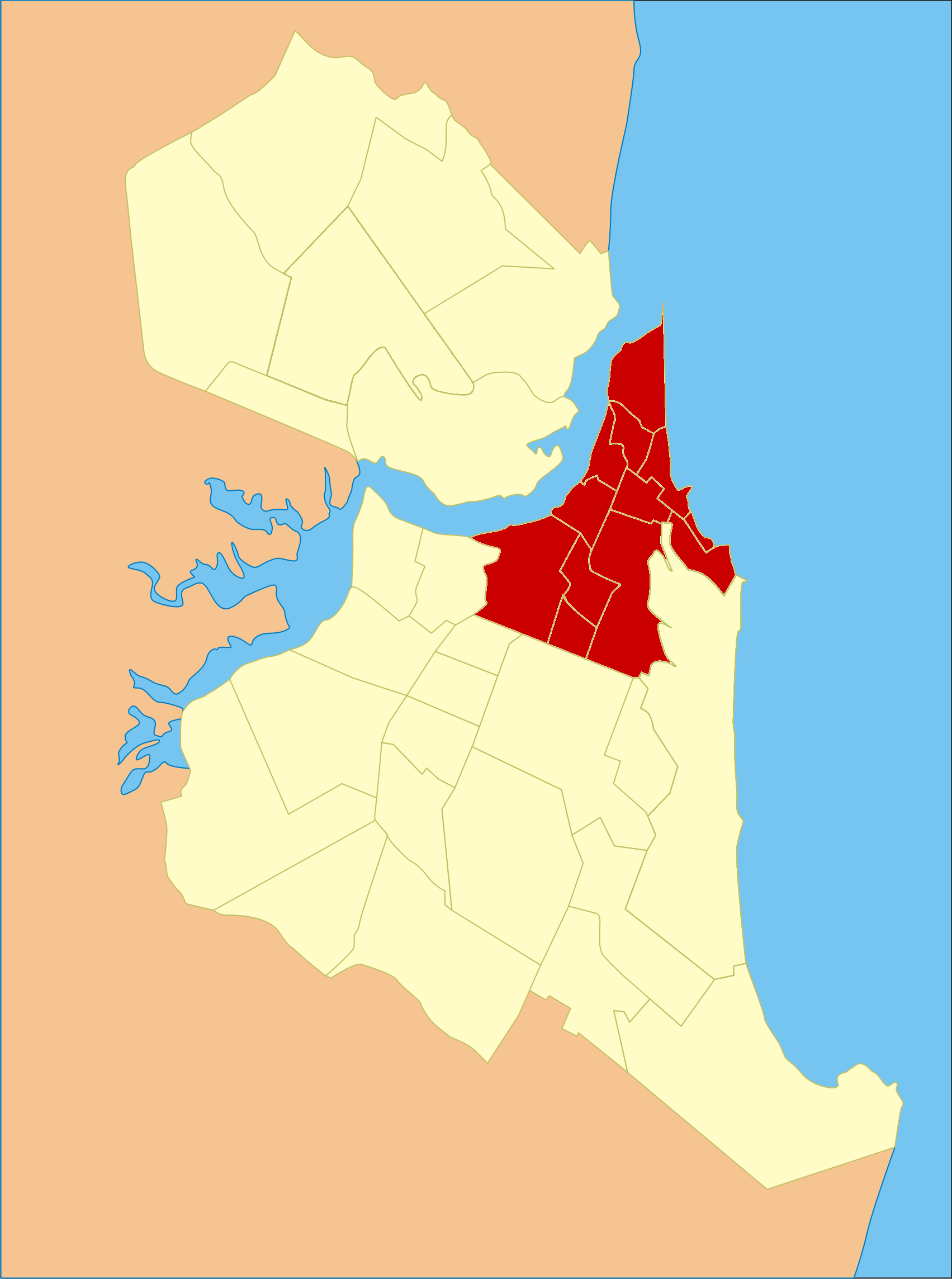
English: Location map of East Zone in Natal (Rio Grande do Norte), Brasil.
Português: Mapa de localização da Zona Leste em Natal (Rio Grande do Norte), Brasil. |
||
| Date | |||
| Source | Adaptado de File:Potengi.png. | ||
| Author | MOC | ||
| Permission (Reusing this file) |
|
Licensing
edit
I, the copyright holder of this work, hereby publish it under the following license:
| This file is made available under the Creative Commons CC0 1.0 Universal Public Domain Dedication. | |
| The person who associated a work with this deed has dedicated the work to the public domain by waiving all of their rights to the work worldwide under copyright law, including all related and neighboring rights, to the extent allowed by law. You can copy, modify, distribute and perform the work, even for commercial purposes, all without asking permission.
|
File history
Click on a date/time to view the file as it appeared at that time.
| Date/Time | Thumbnail | Dimensions | User | Comment | |
|---|---|---|---|---|---|
| current | 22:57, 25 May 2015 | | 1,703 × 2,288 (227 KB) | Cmdrjameson (talk | contribs) | Compressed with pngout. Reduced by 113kB (33% decrease). |
| 14:23, 1 December 2011 |  | 1,703 × 2,288 (341 KB) | MOC (talk | contribs) | {{Information |Description ={{en|1=Temp}} |Source ={{own}} |Author =MOC |Date = |Permission = |other_versions = }} |
You cannot overwrite this file.
File usage on Commons
There are no pages that use this file.