File:Mapa Linha Leste - Metrofor.svg

Size of this PNG preview of this SVG file: 799 × 174 pixels. Other resolutions: 320 × 70 pixels | 640 × 140 pixels | 1,024 × 223 pixels | 1,280 × 279 pixels | 2,560 × 558 pixels.
Original file (SVG file, nominally 1,280 × 279 pixels, file size: 133 KB)
Captions
Captions
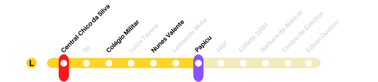
Map of the East Line of the Fortaleza Metro.
Summary
edit
| Description |
Português: Mapa da Linha Leste do Metrô de Fortaleza para uso na wiki. |
| Date | |
| Source | Own work |
| Author | Ruan Moreira |
Licensing
edit
I, the copyright holder of this work, hereby publish it under the following license:
This file is licensed under the Creative Commons Attribution-Share Alike 4.0 International license.
- You are free:
- to share – to copy, distribute and transmit the work
- to remix – to adapt the work
- Under the following conditions:
- attribution – You must give appropriate credit, provide a link to the license, and indicate if changes were made. You may do so in any reasonable manner, but not in any way that suggests the licensor endorses you or your use.
- share alike – If you remix, transform, or build upon the material, you must distribute your contributions under the same or compatible license as the original.
File history
Click on a date/time to view the file as it appeared at that time.
| Date/Time | Thumbnail | Dimensions | User | Comment | |
|---|---|---|---|---|---|
| current | 20:21, 12 January 2023 | 1,280 × 279 (133 KB) | Ruan moreira (talk | contribs) | A estação Tirol-Moura Brasil foi tirada do traçado nessa versão. | |
| 11:37, 11 January 2023 | 1,280 × 279 (148 KB) | Ruan moreira (talk | contribs) | Uploaded own work with UploadWizard |
You cannot overwrite this file.
File usage on Commons
The following page uses this file:
File usage on other wikis
The following other wikis use this file:
- Usage on it.wikipedia.org
- Usage on pt.wikipedia.org