File:Mapa Parroquia Libertad.PNG
Size of this preview: 800 × 564 pixels. Other resolutions: 320 × 226 pixels | 640 × 451 pixels | 1,010 × 712 pixels.
Original file (1,010 × 712 pixels, file size: 59 KB, MIME type: image/png)
Captions
Captions
Add a one-line explanation of what this file represents
| Description |
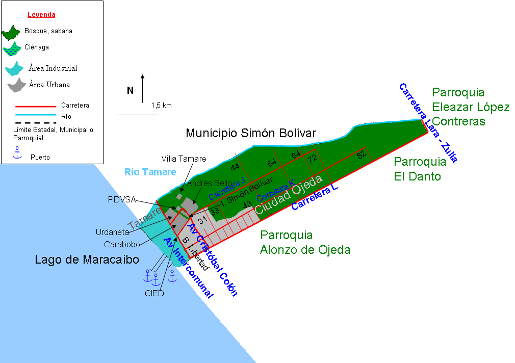
Español: Mapa de la parroquia Libertad, municipio Lagunillas, estado Zulia, Venezuela |
||
| Date | |||
| Source | Own work | ||
| Author | Andrés González | ||
| Permission (Reusing this file) |
|
File history
Click on a date/time to view the file as it appeared at that time.
| Date/Time | Thumbnail | Dimensions | User | Comment | |
|---|---|---|---|---|---|
| current | 13:54, 2 February 2011 | | 1,010 × 712 (59 KB) | Andrés González (talk | contribs) | {{Information |Description ={{es|1=Mapa de la parroquia Libertad, municipio Lagunillas, estado Zulia, Venezuela}} |Source ={{own}} |Author =Andrés González |Date =2011-02-02 |Permission ={{PD-s |
You cannot overwrite this file.
File usage on Commons
There are no pages that use this file.
File usage on other wikis
The following other wikis use this file:
- Usage on es.wikipedia.org