File:Mapa Podhajce 1855.jpg

Original file (2,610 × 1,826 pixels, file size: 1.79 MB, MIME type: image/jpeg)
Captions
Captions
Summary
edit
| Description |
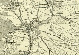
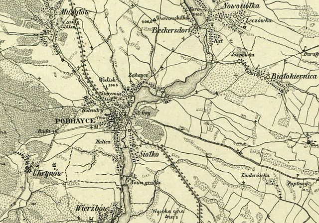
Polski: Fragment mapy "Bl. 40. Umgebungen von Podhayce, Złotniki, Manasteržyska und Buczacz" z 1855 uwzględniający Podhajce i najbliższą okolicę |
| Date | |
| Source | rcin.org.pl |
| Author | Carl von Kummersberg (1797-1877) |
| Permission (Reusing this file) |
Marked Public Domain by Repozytorium Cyfrowe Instytutów Naukowych |
Licensing
edit
This work is in the public domain in its source country for the following reason:
This work is in the public domain in the United States for the following reason:
| ||||||
| This file has been identified as being free of known restrictions under copyright law, including all related and neighboring rights. | ||||||
File history
Click on a date/time to view the file as it appeared at that time.
| Date/Time | Thumbnail | Dimensions | User | Comment | |
|---|---|---|---|---|---|
| current | 10:25, 6 May 2014 | | 2,610 × 1,826 (1.79 MB) | Ggolob (talk | contribs) | User created page with UploadWizard |
You cannot overwrite this file.
File usage on Commons
There are no pages that use this file.
File usage on other wikis
The following other wikis use this file:
- Usage on pl.wikipedia.org