File:Mapa SVG das zonas eleitorais de Curitiba (linhas brancas) - 2016.svg

Size of this PNG preview of this SVG file: 333 × 531 pixels. Other resolutions: 150 × 240 pixels | 301 × 480 pixels | 481 × 768 pixels | 642 × 1,024 pixels | 1,284 × 2,048 pixels.
Original file (SVG file, nominally 333 × 531 pixels, file size: 60 KB)
Captions
Captions
Add a one-line explanation of what this file represents
Summary
edit_-_2016.svg&action=edit§ion=1)
| Description |
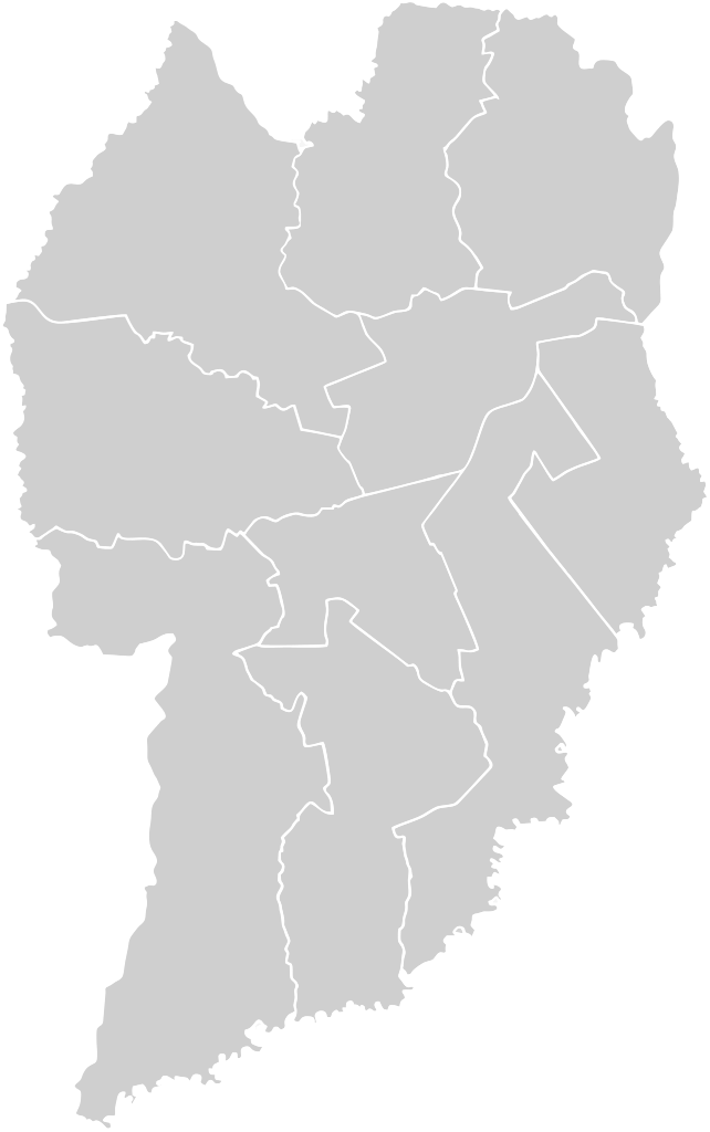
English: SVG map of the electoral zones of Curitiba since 2016 - with HTML tags |
| Date | |
| Source | Own work |
| Author | Sailoratlantis |
Licensing
edit_-_2016.svg&action=edit§ion=2)
I, the copyright holder of this work, hereby publish it under the following license:
| This file is made available under the Creative Commons CC0 1.0 Universal Public Domain Dedication. | |
| The person who associated a work with this deed has dedicated the work to the public domain by waiving all of their rights to the work worldwide under copyright law, including all related and neighboring rights, to the extent allowed by law. You can copy, modify, distribute and perform the work, even for commercial purposes, all without asking permission.
|
File history
Click on a date/time to view the file as it appeared at that time.
| Date/Time | Thumbnail | Dimensions | User | Comment | |
|---|---|---|---|---|---|
| current | 21:19, 18 February 2024 | | 333 × 531 (60 KB) | Sailoratlantis (talk | contribs) | Uploaded own work with UploadWizard |
You cannot overwrite this file.
File usage on Commons
There are no pages that use this file.
_-_2016.svg&oldid=894968329)