File:Mapa da Bahia - 1922.jpg

Size of this preview: 431 × 599 pixels. Other resolutions: 173 × 240 pixels | 345 × 480 pixels | 553 × 768 pixels | 737 × 1,024 pixels | 1,566 × 2,176 pixels.
Original file (1,566 × 2,176 pixels, file size: 1.21 MB, MIME type: image/jpeg)
Captions
Captions
Add a one-line explanation of what this file represents
Summary
edit
| Description |
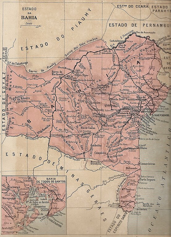
Português: Mapa do Estado da Bahia no ano do centenário da Independência do Brasil, 1922. |
| Date | Atlas Político do Brasil - 1922 |
| Source | Own work |
| Author | Desconhecido; Digitalizado por Selma Silveira. |
| Permission (Reusing this file) |
Publicação com mais de 70 anos, domínio público. |
Licensing
edit
| I, the copyright holder of this work, release this work into the public domain. This applies worldwide. In some countries this may not be legally possible; if so: I grant anyone the right to use this work for any purpose, without any conditions, unless such conditions are required by law. |
File history
Click on a date/time to view the file as it appeared at that time.
| Date/Time | Thumbnail | Dimensions | User | Comment | |
|---|---|---|---|---|---|
| current | 14:37, 13 January 2011 | | 1,566 × 2,176 (1.21 MB) | Gomes Netto (talk | contribs) | {{Information |Description={{pt-br|1=Mapa do Estado da Bahia no ano do centenário da Independência do Brasil, 1922.}} |Source={{own}} |Author=Desconhecido |Date=Atlas Político do Brasil - 1922 |Permission=Publicação com mais de 70 anos, domínio púb |
You cannot overwrite this file.
File usage on Commons
There are no pages that use this file.