File:Mapa de la Isla de Santo Domingo y Haiti LOC 2009579477.jpg

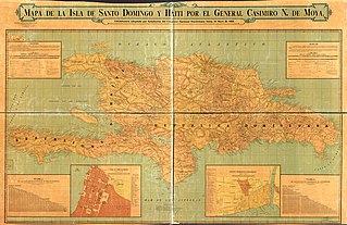
Size of this preview: 800 × 518 pixels. Other resolutions: 320 × 207 pixels | 640 × 415 pixels | 1,024 × 664 pixels | 1,280 × 830 pixels | 2,560 × 1,659 pixels | 20,482 × 13,274 pixels.
Original file (20,482 × 13,274 pixels, file size: 40.84 MB, MIME type: image/jpeg)
Captions
Captions
Add a one-line explanation of what this file represents
Summary edit
| Warning | The original file is very high-resolution. It might not load properly or could cause your browser to freeze when opened at full size. |
|---|
| Description |
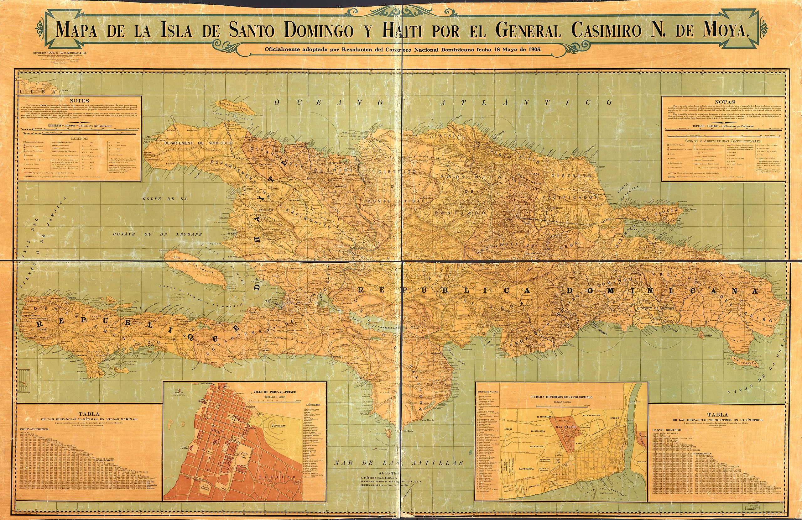
English: Relief shown by hachures. In Spanish and French. Inset: Ville de Port-au-Prince. Indexed. Scale 1:10,000. 26 x 30 cm. Inset: Ciudad y contornos de Santo Domingo. Indexed. Scale 1:10,000. 26 x 32 cm. Includes notes and tables of distances. Available also through the Library of Congress Web site as a raster image. LC copy imperfect: missing sections along old folds. |
||
| Title | Mapa de la Isla de Santo Domingo y Haiti | ||
| Shelf ID | G4930 1905 .M6 G4930 1905 .M6 | ||
| Date | |||
| Source | https://www.loc.gov/item/2009579477/ | ||
| Author | Moya, Casimiro N. De | ||
| Permission (Reusing this file) |
|
||
| Location | Port-Au-Prince · Santo Domingo · Hispaniola · Haiti · Au · Dominican Republic · Prince · Port | ||
| Part of | American Memory · General Maps · Catalog · Geography And Map Division | ||
| Subject | Port-Au-Prince · Santo Domingo (Dominican Republic) · Port-Au-Prince (Haiti) · Santo Domingo · Maps · Hispaniola · Haiti · Dominican Republic |

Licensing edit
|
This is a faithful photographic reproduction of a two-dimensional, public domain work of art. The work of art itself is in the public domain for the following reason:
The official position taken by the Wikimedia Foundation is that "faithful reproductions of two-dimensional public domain works of art are public domain".
This photographic reproduction is therefore also considered to be in the public domain in the United States. In other jurisdictions, re-use of this content may be restricted; see Reuse of PD-Art photographs for details. | ||||
File history
Click on a date/time to view the file as it appeared at that time.
| Date/Time | Thumbnail | Dimensions | User | Comment | |
|---|---|---|---|---|---|
| current | 15:45, 9 June 2018 | | 20,482 × 13,274 (40.84 MB) | Fæ (talk | contribs) | LOC Maps https://www.loc.gov/item/2009579477/ #24872 |
You cannot overwrite this file.
File usage on Commons
The following page uses this file: