File:Mapa de la provincia de Estremadura (1766).jpg

Size of this preview: 800 × 435 pixels. Other resolutions: 320 × 174 pixels | 640 × 348 pixels | 1,024 × 557 pixels | 1,280 × 696 pixels | 2,560 × 1,392 pixels | 6,078 × 3,304 pixels.
Original file (6,078 × 3,304 pixels, file size: 3.49 MB, MIME type: image/jpeg)
Captions
Captions
Add a one-line explanation of what this file represents
Summary edit
.jpg&action=edit§ion=1)
| Description |
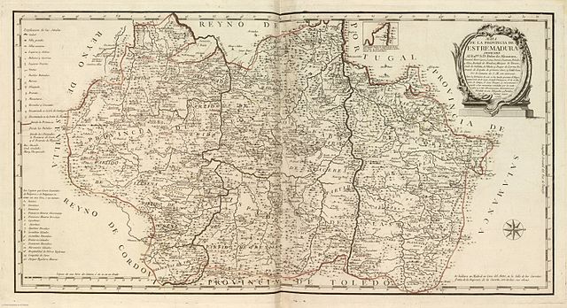
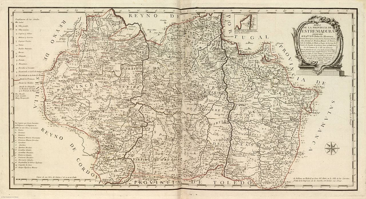
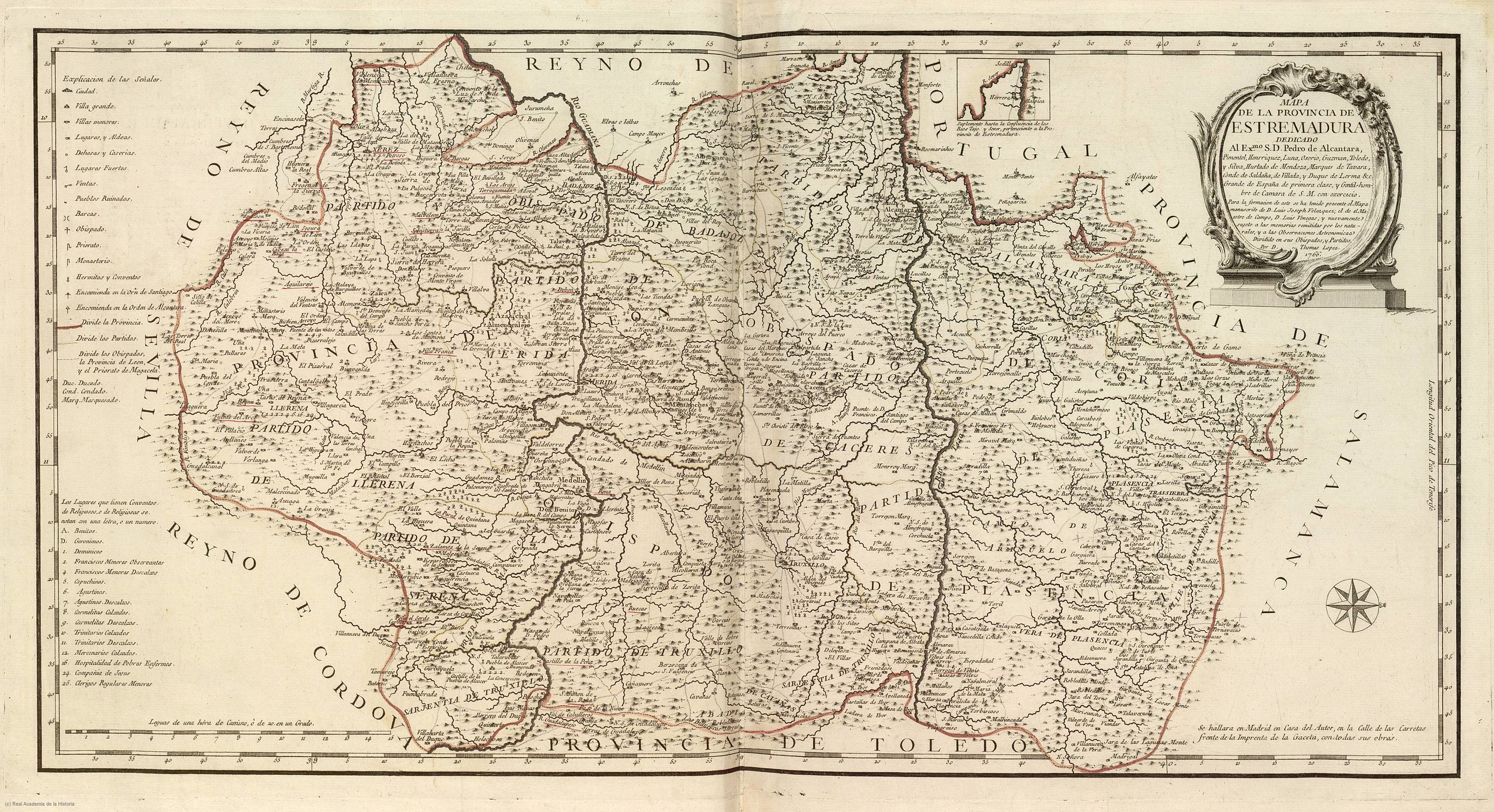
Español: "Mapa de la Provincia de Estremadura", por Tomás López, dedicado a Pedro de Alcántara Pimentel. Dibujado con el oeste arriba (norte a la derecha). Publicado en 1766.
English: Map of the "province of Estremadura", by Tomás López, dedidated to Pedro de Alcántara Pimentel. Oriented with West above (North to the right). Published in 1766. |
|||||||||||||||||||
| Date | ||||||||||||||||||||
| Source | Real Academia de la Historia | |||||||||||||||||||
| Author |
|
|||||||||||||||||||
Licensing edit
.jpg&action=edit§ion=2)
|
This work is in the public domain in its country of origin and other countries and areas where the copyright term is the author's life plus 100 years or fewer. | |
| This file has been identified as being free of known restrictions under copyright law, including all related and neighboring rights. | |
File history
Click on a date/time to view the file as it appeared at that time.
| Date/Time | Thumbnail | Dimensions | User | Comment | |
|---|---|---|---|---|---|
| current | 05:52, 27 July 2012 | | 6,078 × 3,304 (3.49 MB) | Hispalois (talk | contribs) |
You cannot overwrite this file.
File usage on Commons
The following page uses this file:
.jpg)
File usage on other wikis
The following other wikis use this file:
- Usage on ca.wikipedia.org
- Usage on es.wikipedia.org
- Usage on ext.wikipedia.org
- Usage on fr.wikipedia.org
- Usage on www.wikidata.org
.jpg&oldid=796154701)