File:Mapa radziwiłłowska 1613 Olsztyn Warmia.jpg

Size of this preview: 726 × 600 pixels. Other resolutions: 291 × 240 pixels | 581 × 480 pixels | 929 × 768 pixels | 1,054 × 871 pixels.
Original file (1,054 × 871 pixels, file size: 437 KB, MIME type: image/jpeg)
Captions
Captions
Add a one-line explanation of what this file represents
Summary
edit
| Description |
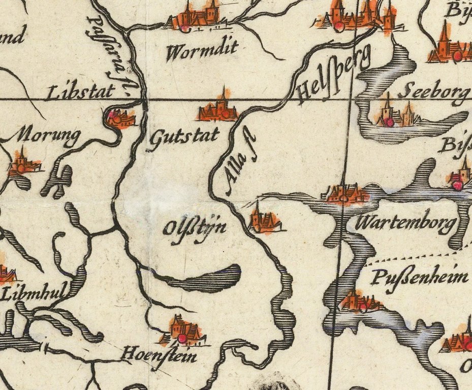
Polski: Olsztyn i Warmia na na mapie radziwiłłowskiej z 1613 roku |
| Date | |
| Source | https://www.raremaps.com/gallery/detail/74017/magni-ducatus-lithuaniae-caeterarumque-regionum-illi-adjacen-blaeu-gerritsz |
| Author | Tomasz Makowski, Hessel Gerritsz |
Licensing
edit
|
This is a faithful photographic reproduction of a two-dimensional, public domain work of art. The work of art itself is in the public domain for the following reason:
The official position taken by the Wikimedia Foundation is that "faithful reproductions of two-dimensional public domain works of art are public domain".
This photographic reproduction is therefore also considered to be in the public domain in the United States. In other jurisdictions, re-use of this content may be restricted; see Reuse of PD-Art photographs for details. | ||||
File history
Click on a date/time to view the file as it appeared at that time.
| Date/Time | Thumbnail | Dimensions | User | Comment | |
|---|---|---|---|---|---|
| current | 11:11, 19 April 2022 | | 1,054 × 871 (437 KB) | Popik (talk | contribs) | Uploaded a work by Tomasz Makowski, Hessel Gerritsz from https://www.raremaps.com/gallery/detail/74017/magni-ducatus-lithuaniae-caeterarumque-regionum-illi-adjacen-blaeu-gerritsz with UploadWizard |
You cannot overwrite this file.
File usage on Commons
The following page uses this file: